
Car plates EPJ | Area 804.1 km² | |
 | ||
Gminas Total 8Gmina DziałoszynGmina KiełczygłówGmina Nowa BrzeźnicaGmina PajęcznoGmina RząśniaGmina SiemkowiceGmina Strzelce WielkieGmina Sulmierzyce Website | ||
Pajęczno County (Polish: powiat pajęczański) is a unit of territorial administration and local government (powiat) in Łódź Voivodeship, central Poland. It came into being on January 1, 1999, as a result of the Polish local government reforms passed in 1998. Its administrative seat and largest town is Pajęczno, which lies 78 kilometres (48 mi) south-west of the regional capital Łódź. The only other town in the county is Działoszyn, lying 10 km (6 mi) west of Pajęczno.
Contents
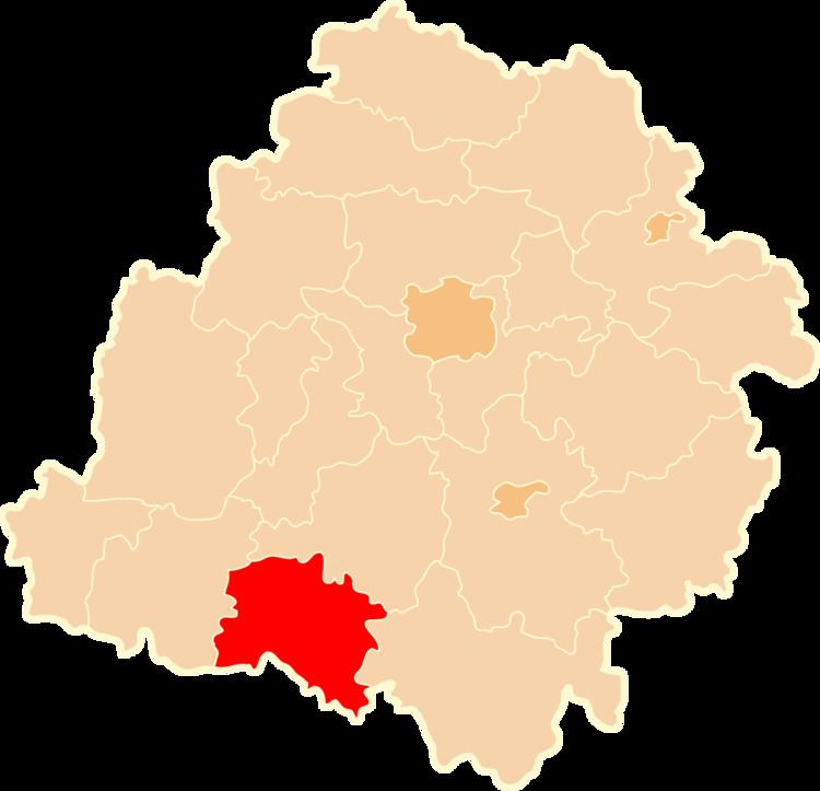
Map of Paj%C4%99czno County, Poland
The county covers an area of 804.14 square kilometres (310.5 sq mi). As of 2006 its total population is 53,395, out of which the population of Pajęczno is 6,674, that of Działoszyn is 6,276, and the rural population is 40,445.
Neighbouring counties
Pajęczno County is bordered by Bełchatów County to the north-east, Radomsko County to the east, Częstochowa County and Kłobuck County to the south, and Wieluń County to the west.
Administrative division
The county is subdivided into eight gminas (two urban-rural and six rural). These are listed in the following table, in descending order of population.