
Car plates SMY | Area 478.6 km² | |
 | ||
Gminas Total 5 (incl. 1 urban)MyszkówGmina KoziegłowyGmina NiegowaGmina PorajGmina Żarki Points of interest Bobolice Castle, Mirów Castle, Sanktuarium Matki Bożej Leśniowskiej, Muzeum Dawnych Rzemiosł, Strażnica Przewodziszowice Destinations Myszków, Żarki, Żarki‑Letnisko, Koziegłowy, Mirów - Silesian | ||
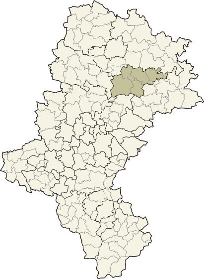
Myszków County (Polish: powiat myszkowski) is a unit of territorial administration and local government (powiat) in Silesian Voivodeship, southern Poland. It came into being on January 1, 1999, as a result of the Polish local government reforms passed in 1998. Its administrative seat and largest town is Myszków, which lies 44 kilometres (27 mi) north-east of the regional capital Katowice. The county also contains the towns of Żarki, lying 7 km (4 mi) north-east of Myszków, and Koziegłowy, 11 km (7 mi) west of Myszków.
Contents
Map of Myszk%C3%B3w County, Poland
The county covers an area of 478.62 square kilometres (184.8 sq mi). As of 2006 its total population is 71,619, out of which the population of Myszków is 32,830, that of Żarki is 4,419, that of Koziegłowy is 2,505, and the rural population is 31,865.
Neighbouring counties
Myszków County is bordered by Częstochowa County to the north, Zawiercie County to the south-east, Będzin County to the south, and Tarnowskie Góry County and Lubliniec County to the west.
Administrative division
The county is subdivided into five gminas (one urban, two urban-rural and two rural). These are listed in the following table, in descending order of population.