
Car plates SLU | Area 822.1 km² | |
 | ||
Gminas Total 8 (incl. 1 urban)LubliniecGmina BoronówGmina CiasnaGmina HerbyGmina KochanowiceGmina KoszęcinGmina PawonkówGmina Woźniki Points of interest Pałac w Koszęcinie, Muzeum Edyty Stein w Lublińcu, Muzeum Paleontologiczne w Lisowic, Rezerwat przyrody Góra Groj, Rezerwat przyrody Jeleniak | ||
Lubliniec County (Polish: powiat lubliniecki) is a unit of territorial administration and local government (powiat) in Silesian Voivodeship, southern Poland. It came into being on January 1, 1999, as a result of the Polish local government reforms passed in 1998. Its administrative seat and largest town is Lubliniec, which lies 54 kilometres (34 mi) north-west of the regional capital Katowice. The only other town in the county is Woźniki, lying 45 km (28 mi) north-east of Lubliniec.
Contents
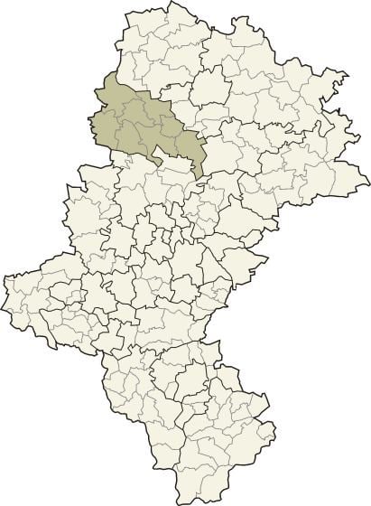
Map of Lubliniec County, Poland
The county covers an area of 822.13 square kilometres (317.4 sq mi). As of 2006 its total population is 76,628, out of which the population of Lubliniec is 24,229, that of Woźniki is 4,410, and the rural population is 47,989.
Neighbouring counties
Lubliniec County is bordered by Kłobuck County to the north-east, Częstochowa County and Myszków County to the east, Tarnowskie Góry County to the south, Strzelce County to the south-west, and Olesno County to the north-west.
Administrative division
The county is subdivided into eight gminas (one urban, one urban-rural and six rural). These are listed in the following table, in descending order of population.