
- left Good Luck Creek Length 26 km | - elevation 653 m (2,142 ft) - elevation 287 m (942 ft) | |
 | ||
- right Brewery Creek (Victoria) - location south of Dinner Plain, Great Dividing Range | ||
The Crooked River is a perennial river of the Mitchell River catchment, located in the Alpine region of the Australian state of Victoria.
Contents
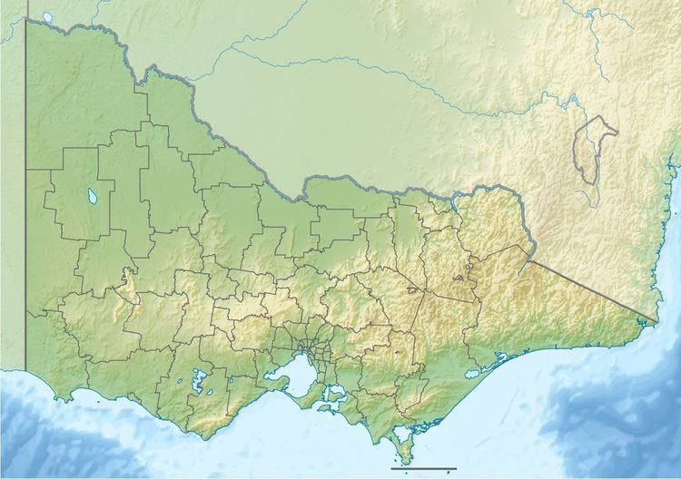
Map of Crooked River, Wongungarra VIC, Australia
Location and features
Formed by the confluence of the Twenty Five Mile Creek and Thirty Mile Creek, the Crooked River rises below The Tablelands, the fourth highest mountain pass in Victoria, within the Great Dividing Range, south of Dinner Plain. The river flows in a highly meandering course, generally south by west, joined by two minor tributaries before reaching its confluence with the Wongungarra River between the small settlements of Howittville and Winchester, within the Alpine National Park in the Shire of Wellington. The river descends 366 metres (1,201 ft) over its 26-kilometre (16 mi) course.
Etymology
In the Australian Aboriginal Brabralung dialect of the Gunai language, two variant names for the Crooked River are given as Dow-wirra, meaning "dry tree"; and Nirlung, meaning "plenty of water-hens".