
 | ||
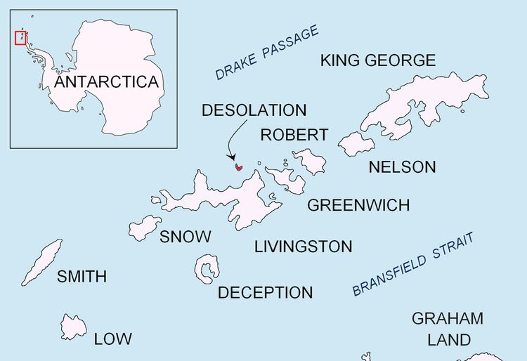
Cora Cove is the 750 m wide cove in the northwest part of Blythe Bay indenting for 590 m the southeast coast of Desolation Island off Livingston Island in the South Shetland Islands, Antarctica. The cove was used by early 19th century sealers operating from Blythe Bay.
Contents
The feature is named after the British brig Cora (Captain Robert Fildes) lost there on 6 January 1821. Later that year the cove was visited and charted by Captain George Powell who reported the loss.
Location
The cove is centred at 62°27′45.5″S 60°19′53.8″W which is 830 m north-northeast of Iratais Point, 2.92 km southeast of Cape Danger and 10.13 km south by west of Williams Point (British mapping in 1821, 1822, 1935, 1962 and 1968, French in 1937, Argentine in 1953, and Bulgarian in 2005 and 2009).