
Country Australia | State Queensland Elevation 868 m | |
 | ||
Peak Mount Langley (Queensland) Similar Blackall Range, Mapleton Falls National, Kondalilla National Park, Mary River, Dularcha National Park | ||
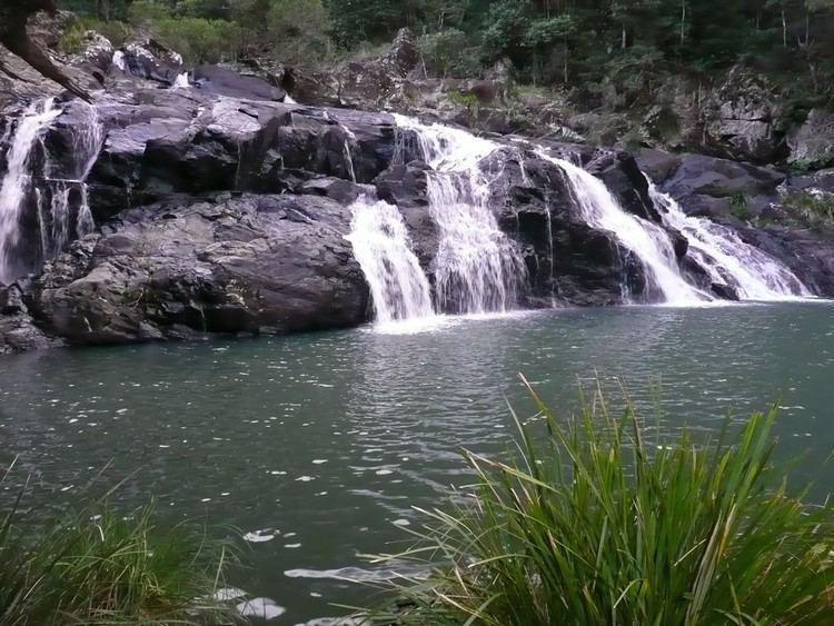
The Conondale Range is a mountain range in Queensland, located between Maleny, Kenilworth, Kilcoy and Jimna. The range is the most westerly part of the Sunshine Coast hinterland and part of the Great Dividing Range. The highest point on the range is Mount Langley reaching 868 m above sea level. This is also the highest point in the Brisbane River catchment.
Contents
Map of Conondale Range, Booroobin QLD 4552, Australia
Lower foothills of the range around Kilcoy are used for grazing. Most of the steep forested slopes of the range are state forests and Conondale National Park. In the south, parts of Stony Creek are preserved in Bellthorpe National Park.
The mountains are the source of the Brisbane River. Creeks on the south of the range drain into the Stanley River and directly into Lake Somerset. To the north creeks flow into the Mary River.
FaunaEdit
Some 1620 km2 of the Conondale Range is classified by BirdLife International as an Important Bird Area because it supports an isolated, and the northernmost, population of the endangered eastern bristlebird, which was only discovered in the 1980s. It is also home large populations of the black-breasted button-quail, pale-yellow robin, paradise riflebird, regent bowerbird, green catbird and Australian logrunner.
The extinct gastric-brooding frog and endangered Fleay's barred frog are two frog species endemic to the Conondale Range and parts of nearby regions.