Postcode(s) 4515 Local time Sunday 4:31 AM | Postal code 4515 | |
 | ||
Weather 19°C, Wind E at 5 km/h, 90% Humidity | ||
Jimna is a small town and rural locality in the Somerset Region, Queensland, Australia.
Contents
Map of Jimna QLD 4515, Australia
History
The name Jimna is believed to be an Aboriginal word djimna meaning place of leeches.
The first Jimna Post Office opened on 1 July 1868 and closed in 1879. A receiving office was open from 1891 to 1909, and from 1925 until the second Jimna Post Office opened on 1 July 1927. This closed in 1981.
Monsildale Provisional School opened on 2 June 1913. In 1923, the school was moved and renamed Foxlowe Provisional School. On 25 June 1926 it was renamed Jimna Provisional School. On 1 October 1934, it was upgraded to a State School. It was mothballed at the end of 2006 and closed on 31 December 2009. (In about 1941, a separate Monsildale State School was opened but closed about 1961.)
Commercial loggers Hancock and Gore moved their sawmill from Monsildale to what would become Jimna in 1922. The sawmill was burnt down by fire in 1947.
The state government established a hoop pine nursery at Jimna in 1935. Jimna hall was opened in 1934 and the school, still in use today, was opened the same year When sawmilling contracted in the mid 1970s the town's population reduced significantly.
Heritage listings
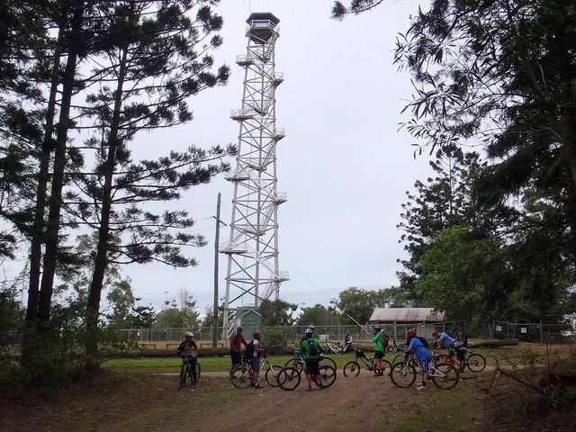
Jimna has a number of heritage-listed sites, including:
