
Phone +1 413-586-8706 ext. 112 | ||
 | ||
Management Department of Conservation and Recreation Similar Gardner Heritage State Park, C M Gardner State Park, Quincy Shore Reservation, Thacher Island National, Massasoit National Wildlife R | ||
Mill river park an introduction
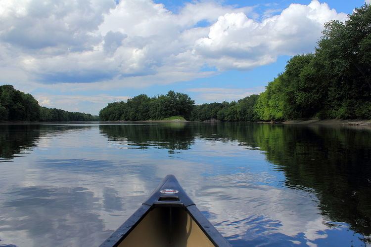
Connecticut River Greenway State Park is a Massachusetts state park consisting of separate state land holdings, including open spaces, parks, scenic vistas, archaeological sites, and historic sites, along the Connecticut River in the Pioneer Valley of western Massachusetts. The park includes critical wildlife and plant habitat as well as areas providing public access to the river in its run across the state and is intertwined with other protected land including farmland under state-held agricultural preservation restrictions (a type of conservation easement), municipal and conservation land trust holdings, and state and national wildlife refuges.
Contents
HistoryEdit
The Department of Conservation and Recreation acquired most of the parcels over a period of 20 years beginning around 1986, adding to earlier state holdings including Mount Tom State Reservation, Mount Holyoke Range State Park and J.A. Skinner State Park. Much of the DCR's land acquisition for the park was spearheaded by staff person Terry Blunt, of whom the Director of State Parks and Recreation, Priscilla Geigis, said, "It's really been his leadership and his vision and his drive that has helped to coordinate so many different entities, landowners, towns, organizations, to come together and protect this very special place."
River access pointsEdit
There are over 12 miles of permanently protected shoreline, and numerous access points to the river. The DCR has identified the following places where the river can be tackled: