
Congressional district 11th Website www.columbiapa.org Founded 22 March 1813 Population 66,797 (2013) | Designated July 11, 1983 Area 1,269 km² | |
 | ||
Points of interest Knoebels Amusement Resort, Bloomsburg Town Park, Bill's Old Bike Barn, Lawrence L Knoebel Covered, The Children's Museum | ||
National register of historic places listings in columbia county pennsylvania top 5 facts
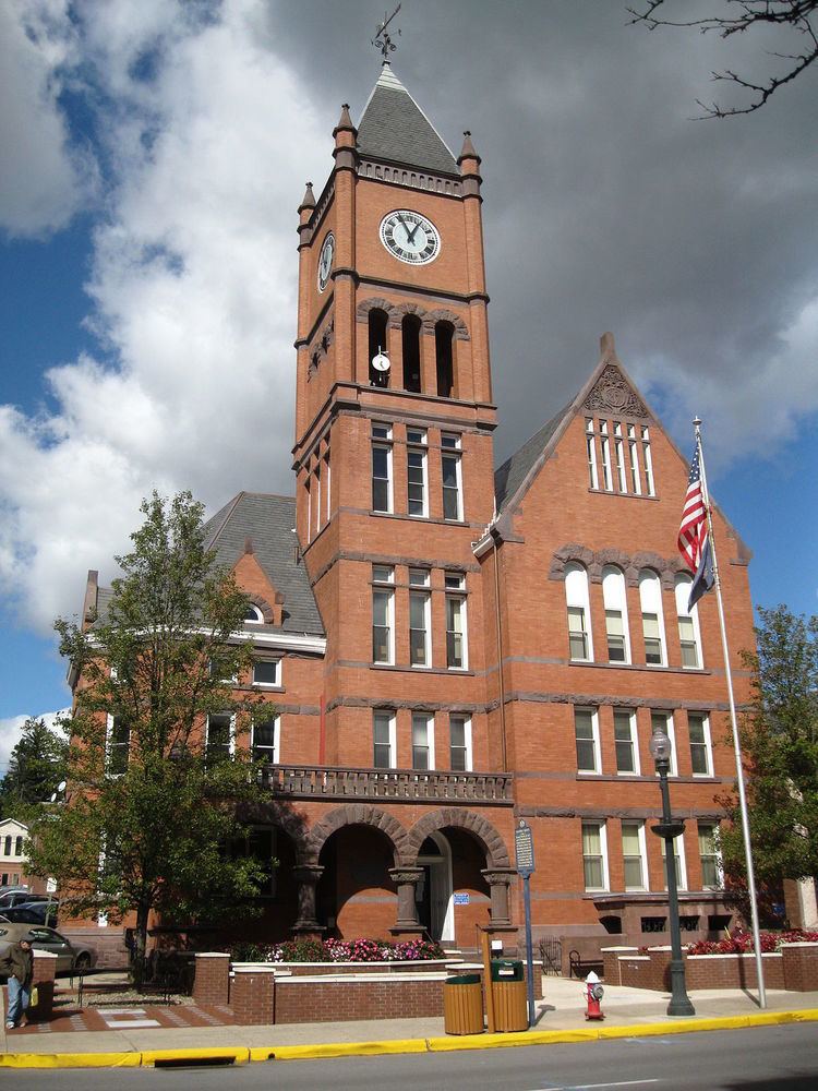
Columbia County is a county located in the U.S. state of Pennsylvania. As of the 2010 census, the population was 67,295. Its county seat is Bloomsburg. The county was created on March 22, 1813, from part of Northumberland County and named for Columbia, a poetic name for the United States that alludes to Christopher Columbus.
Contents
- National register of historic places listings in columbia county pennsylvania top 5 facts
- Map of Columbia County PA USA
- Geography
- Mountains
- Major highways
- Adjacent counties
- State Park
- Demographics
- Metropolitan Statistical Area
- Politics and government
- County commissioners
- Other county officials
- Colleges and universities
- Public school districts
- Technical school
- Charter school
- Private schools
- Libraries
- Communities
- Town
- Census designated places
- Unincorporated communities
- Population ranking
- References
Map of Columbia County, PA, USA
Columbia County is part of the Bloomsburg-Berwick, PA Metropolitan Statistical Area.
Geography
According to the U.S. Census Bureau, the county has a total area of 490 square miles (1,300 km2), of which 483 square miles (1,250 km2) is land and 7.1 square miles (18 km2) (1.4%) is water. The southern tip of Columbia County is part of the Coal Region. The area of the county from the Susquehanna River south to several miles south of Numidia is mostly farmland and state game lands. Around the Susquehanna River, there are several communities, such as Bloomsburg and Catawissa. From the Susquehanna River north as far as Waller, the county is mostly farmland with several patches of forest. North of Waller, the county is mostly state game lands and mountains.
The major streams in Columbia County are the Susquehanna River, Fishing Creek, Briar Creek, Catawissa Creek, and Roaring Creek.
Mountains
Note: Only mountains higher than 1,500 feet (460 m) are listed
Source:
Major highways
Columbia County is served by Pennsylvania Route 93, Pennsylvania Route 118, Pennsylvania Route 42, U.S. Route 11, Interstate 80, and several other state highways.
Adjacent counties
State Park
Part of Ricketts Glen State Park is in the northern portion of Columbia County.
Demographics
As of the census of 2000, there were 64,151 people, 24,915 households, and 16,568 families residing in the county. The population density was 132 people per square mile (51/km²). There were 27,733 housing units at an average density of 57 per square mile (22/km²). The racial makeup of the county was 97.59% White, 0.80% Black or African-American, 0.15% Native American, 0.52% Asian, 0.03% Pacific Islander, 0.33% from other races, and 0.58% from two or more races. 0.95% of the population were Hispanic or Latino of any race. 33.2% were of German, 10.0% American, 9.4% Irish, 8.1% Italian, 6.7% Polish and 6.2% English ancestry.
There were 24,915 households out of which 27.70% had children under the age of 18 living with them, 53.80% were married couples living together, 8.70% had a female householder with no husband present, and 33.50% were non-families. 26.60% of all households were made up of individuals and 11.80% had someone living alone who was 65 years of age or older. The average household size was 2.42 and the average family size was 2.90.
In the county, the population was spread out with 20.80% under the age of 18, 14.30% from 18 to 24, 25.90% from 25 to 44, 23.10% from 45 to 64, and 15.90% who were 65 years of age or older. The median age was 38 years. For every 100 females there were 90.80 males. For every 100 females age 18 and over, there were 87.80 males.
Metropolitan Statistical Area
The United States Office of Management and Budget has designated Columbia County as the Bloomsburg-Berwick, PA Metropolitan Statistical Area (MSA). As of the 2010 U.S. Census the metropolitan area ranked 20th most populous in the State of Pennsylvania and the 368th most populous in the United States with a population of 82,562. Columbia County is also a part of the larger Bloomsburg-Berwick-Sunbury, PA Combined Statistical Area (CSA), which combines the populations of Columbia County as well as Montour, Northumberland, Snyder and Union Counties in Pennsylvania. The Combined Statistical Area ranked 8th in the State of Pennsylvania and 115th most populous in the United States with a population of 264,739.
Politics and government
As of November 2011, there are 41,026 registered voters in Columbia County.
While the county registration tends to be evenly matched between Democrats and Republicans, the county trends Republican in statewide elections. While John McCain received 51.6% of its vote to 47.1% for Barack Obama, this was a far-closer margin than the 20 points that George W. Bush carried it by in 2004. Each of the three row-office statewide winners carried Columbia in 2008. In 2006, Democrat Bob Casey Jr. received 51% of its vote when he unseated incumbent Republican US Senator Rick Santorum and Ed Rendell received 50.6% of the vote against Lynn Swann.
For many years Columbia County was represented in the State House by a conservative Democrat in the 109th district until John Gordner changed parties to Republican in 2001. He was elected to the State Senate in 2003 and succeeded by Republican David R. Millard. Columbia is in the 27th Senate district and 11th Congressional district.
County commissioners
Other county officials
Colleges and universities
Public school districts
Technical school
Charter school
Private schools
Libraries
Communities
Under Pennsylvania law, there are four types of incorporated municipalities: cities, boroughs, townships, and, in at most two cases, towns. The following town, boroughs and townships are located in Columbia County:
Town
Census-designated places
Census-designated places are geographical areas designated by the U.S. Census Bureau for the purposes of compiling demographic data. They are not actual jurisdictions under Pennsylvania law. Other unincorporated communities, such as villages, may be listed here as well.
Unincorporated communities
Population ranking
The population ranking of the following table is based on the 2010 census of Columbia County.
† county seat