
ZIP codes 65276, 65348 Elevation 253 m Local time Monday 5:25 PM | Time zone CST (UTC-6) GNIS feature ID 0766529 Area 130.6 km² Population 439 (2000) | |
 | ||
Weather 23°C, Wind S at 34 km/h, 51% Humidity | ||
Clear Creek Township is one of fourteen townships in Cooper County, Missouri, USA. As of the 2000 census, its population was 439.
Contents
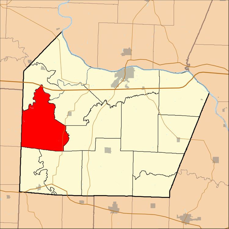
- Map of Clear Creek Township MO 65276 USA
- Geography
- Unincorporated towns
- Extinct towns
- Adjacent townships
- Cemeteries
- Major highways
- Lakes
- School districts
- Political districts
- Notable people
- References
Map of Clear Creek Township, MO 65276, USA
Clear Creek Township was named after the creek of the same name within its borders.
Geography
According to the United States Census Bureau, Clear Creek Township covers an area of 50.44 square miles (130.64 square kilometers); of this, 50.32 square miles (130.34 square kilometers, 99.77 percent) is land and 0.12 square miles (0.3 square kilometers, 0.23 percent) is water.
Unincorporated towns
(This list is based on USGS data and may include former settlements.)
Extinct towns
(These towns are listed as "historical" by the USGS.)
Adjacent townships
Cemeteries
The township contains these two cemeteries: Lamine and Sowers.
Major highways
Lakes
School districts
Political districts
Notable people
References
Clear Creek Township, Cooper County, Missouri Wikipedia(Text) CC BY-SA