
Country United States Elevation 306 m Population 1,169 (2010) | GNIS feature ID 453220 Area 51.57 km² Local time Monday 4:54 PM | |
 | ||
Weather 12°C, Wind S at 19 km/h, 95% Humidity | ||
Clay Township is one of fifteen townships in Wayne County, Indiana, United States. As of the 2010 census, its population was 1,169 and it contained 445 housing units.
Contents
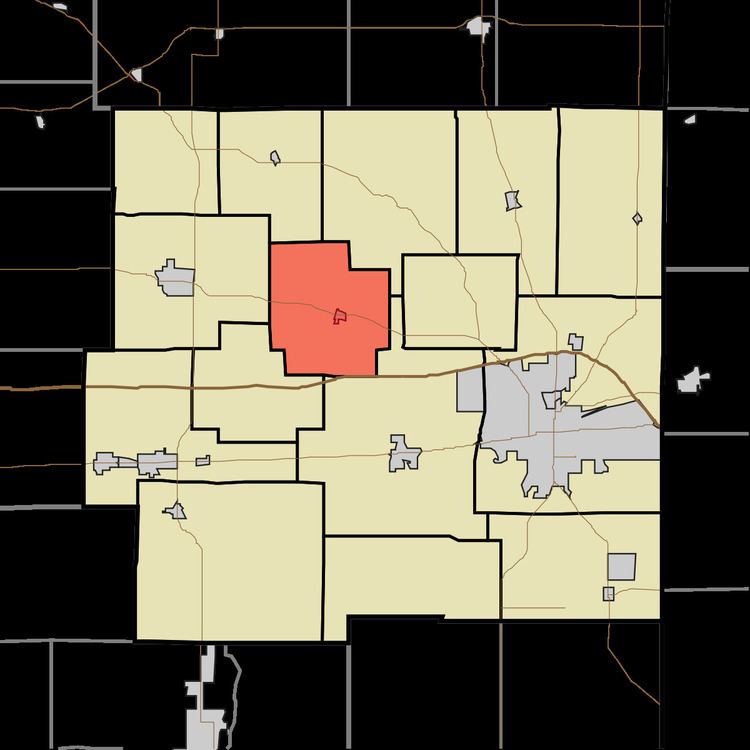
- Map of Clay Township IN USA
- History
- Geography
- Cities and towns
- Unincorporated towns
- Adjacent townships
- Cemeteries
- Major highways
- References
Map of Clay Township, IN, USA
History
Clay Township was organized in 1832.
Geography
According to the 2010 census, the township has a total area of 19.91 square miles (51.6 km2), of which 19.84 square miles (51.4 km2) (or 99.65%) is land and 0.06 square miles (0.16 km2) (or 0.30%) is water. The streams of Our Run and Pale Run pass through this township.
Cities and towns
Unincorporated towns
(This list is based on USGS data and may include former settlements.)
Adjacent townships
Cemeteries
The township contains two cemeteries: Fairfield and Greens Fork.
Major highways
References
Clay Township, Wayne County, Indiana Wikipedia(Text) CC BY-SA