
Country United States Elevation 300 m Local time Friday 3:21 AM | GNIS feature ID 453399 Area 42.76 km² Population 392 (2010) | |
 | ||
Weather -3°C, Wind SE at 6 km/h, 63% Humidity | ||
Harrison Township is one of fifteen townships in Wayne County, Indiana, United States. As of the 2010 census, its population was 392 and it contained 138 housing units.
Contents
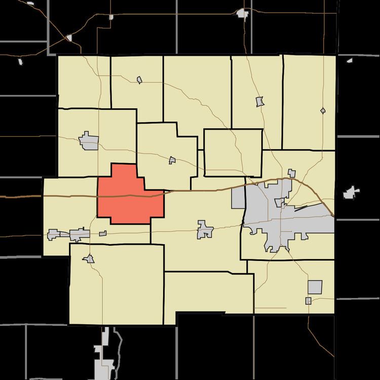
- Map of Harrison Township IN USA
- History
- Geography
- Unincorporated towns
- Adjacent townships
- Cemeteries
- Major highways
- References
Map of Harrison Township, IN, USA
History
Harrison Township was organized in 1843.
Geography
According to the 2010 census, the township has a total area of 16.51 square miles (42.8 km2), of which 16.36 square miles (42.4 km2) (or 99.09%) is land and 0.16 square miles (0.41 km2) (or 0.97%) is water. The streams of Beard Run, Black Water Branch, College Corner Branch, Mud Run, Oser Creek, Silver Creek, Silver Station Brook and Square Run run through this township.
Unincorporated towns
(This list is based on USGS data and may include former settlements.)
Adjacent townships
Cemeteries
The township contains one cemetery, Beard.
Major highways
References
Harrison Township, Wayne County, Indiana Wikipedia(Text) CC BY-SA