
County Carroll FIPS code 18-62424 Elevation 206 m Local time Thursday 6:51 PM | State Indiana GNIS feature ID 441677 Zip code 46923 | |
 | ||
Weather 15°C, Wind S at 14 km/h, 89% Humidity | ||
Pyrmont is an unincorporated community in Clay Township, Carroll County, Indiana.
Contents
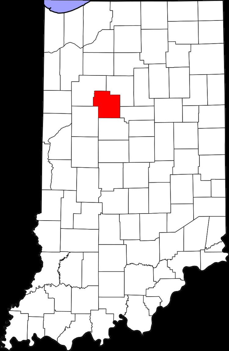
Map of Pyrmont, IN 46923, USA
History
Pyrmont was likely named after Waldeck and Pyrmont, in Germany.
An historical marker, erected in 1977 by the Carroll County Historical Society at the principal intersection in Pyrmont gives some of its history:
John Wagner built a dam, race and saw mill about a mile South in 1833 and added a grist mill. He sold to John Fisher who sold to John Fetterhoff who built a large frame mill. Joel Wagoner, James Allen, Elias Morkert, J. J. Cripe, Wm. Gardner, Bert Smoker were later operators. It burned December 7, 1929. Fetterhoff’s Mill Post Office established 1851, was changed to Pyrmont in 1866.Pyrmont was the site of a 152-foot (46 m) single span Smith Truss covered bridge, built in 1860 by the Wheelock Bridge Company. The bridge collapsed in July, 1951.
Geography
Pyrmont is located at 40°28′03″N 86°40′47″W.
References
Pyrmont, Indiana Wikipedia(Text) CC BY-SA