
- elevation 3,241 ft (988 m) Country United States of America | Length 241 km | |
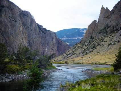 | ||
The Clarks Fork Yellowstone River (sometimes called the Clarks Fork River) is a tributary of the Yellowstone River, 150 mi (241 km) long in the U.S. states of Montana and Wyoming.
Map of Clarks Fork Yellowstone River, Montana, USA
It rises in southern Montana, in the Gallatin National Forest in the Beartooth Mountains, approximately 4 mi (6 km) northeast of Cooke City and southwest of Granite Peak. It flows southeast into the Shoshone National Forest in northwest Wyoming, east of Yellowstone National Park, then northeast back into Montana. It passes Belfry, Bridger, Fromberg, and Edgar, and joins the Yellowstone approximately 2 mi (3 km) southeast of Laurel.
The Clarks Fork of the Yellowstone River should not be confused with the Clark Fork River, which is located in Montana and Idaho.
References
Clarks Fork Yellowstone River Wikipedia(Text) CC BY-SA