
Country United States ZIP code 59026 Area 177 ha Population 114 (2010) | Time zone Mountain (MST) (UTC-7) Area code(s) 406 Elevation 1,059 m Local time Saturday 1:10 AM | |
 | ||
Weather -7°C, Wind NW at 11 km/h, 100% Humidity | ||
Edgar is a census-designated place and unincorporated community in Carbon County, Montana, United States. As of the 2010 census it had a population of 114. Although it is unincorporated, Edgar has a post office with a ZIP code of 59026.
Map of Edgar, MT, USA
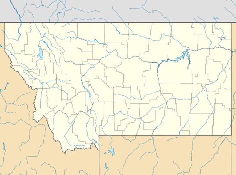
Edgar lies east of the intersection of U.S. Route 310 and Elwell Street. Edgar is south of Rockvale and northeast of Fromberg. Edgar is a small, agricultural community with a number of silos and elevators. It is also home to a bar & grill restaurant and some other services.
References
Edgar, Montana Wikipedia(Text) CC BY-SA