
 | ||
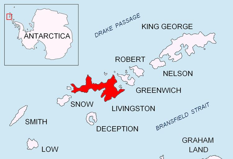
Clark Nunatak is a rocky peak rising to 147 m at the southwest edge of the ice cap of Rotch Dome in western Livingston Island, South Shetland Islands, Antarctica near the south extremity of Urvich Wall.
Contents
The feature is named after Daniel Clark, First Mate of the American sealing vessel Hersilia under Captain James Sheffield in 1820-21.
Location
The nunatak is located at 62°40′03.8″S 60°54′37.5″W which is 9.25 km east of Nikopol Point, 5.8 km southeast of Tsamblak Hill, 4.07 km south-southwest of the highest point of Rotch Dome and 3.9 km northwest of Elephant Point (British mapping in 1933 and 1968, detailed Spanish mapping in 1992, and Bulgarian mapping in 2005 and 2009).
Maps
References
Clark Nunatak Wikipedia(Text) CC BY-SA