
Population 202,731 (2016) (24th) Founded 1862 | Established 1862 Area 489.9 km² | |
 | ||
Mayor Ricky Kirkham (2016/17) Points of interest | ||
The heritage overlay in the city of whittlesea
The City of Whittlesea is a local government area located in the outer northern suburbs of Melbourne, the state capital of Victoria, Australia. The city covers an area of 489.9 square kilometres (189.2 sq mi), and at the 2011 Census it had a population of 154,880.
Contents
- The heritage overlay in the city of whittlesea
- Map of Whittlesea VIC Australia
- City of whittlesea past present and future
- History
- History of the main suburbs
- Wards
- Suburbs
- Population
- Councillors
- Previous Mayors
- References
Map of Whittlesea, VIC, Australia
City of whittlesea past present and future
History
What became the City of Whittlesea had its origins in two separate districts. The first, Whittlesea, was incorporated on 12 December 1862 and became a Shire in 1874. The second, Epping, was incorporated on 25 July 1864, became the Shire of Darebin on 7 October 1870 and was renamed back to Shire of Epping on 22 March 1894. The two merged on 1 October 1915 as part of a restructuring of local government outside the metropolitan area in Victoria.
On 31 May 1955, parts of the City of Broadmeadows were annexed to Whittlesea and the neighbouring Shire of Bulla. The population grew rapidly as urbanisation reached the southern end of the shire, and on 30 March 1988 it was proclaimed by the Governor of Victoria as a City, effective from 15 April. Until amalgamation, the City was 598.3 square kilometres (231.0 sq mi) in size.
On 15 December 1994, massive local government reform once again affected Whittlesea's boundaries, although unlike most, the City survived largely intact. 18% of its land area was ceded to entities created in 1994 – the Doreen and Arthurs Creek districts were lost to the new Shire of Nillumbik, while Kinglake West went to Shire of Murrindindi and Somerton to the City of Hume.
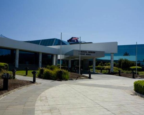
Until April 1993, the council met at the Shire Office at High Street and Houston Street, Epping, next to the primary school. In that month, it moved to its present headquarters in Ferres Boulevard, South Morang. The original premises in Epping is now a council depot.
In February 2011 Whittlesea Council voted unanimously to ask the Department of Sustainability and Environment to suspend the Eden Park Kangaroo Cull.
The City of Whittlesea is a culturally diverse community with the 2011 Census recording that 38.3% of residents were born overseas.
History of the main suburbs
Bundoora
Bundoora was named after Keelbundoora, which was the name of the parish (land) where Bundoora exists today. Keelbundoora was also the name of the young boy present at the signing of the Batman treaty, a historic land agreement made by European settler, John Batman with the Aboriginal people of Melbourne in 1835. The treaty was later ruled invalid by the government of the day. Only a small part of Bundoora is within the City of Whittlesea boundary, the rest of the suburb is served by Darebin City Council and Banyule City Council.
Lalor
Lalor was established in 1947. Lalor was originally the home of a low-cost housing project that provided houses for ex-servicemen returning from World War II. The first primary school opened in 1954.
Thomastown
Legend has it that Thomastown was named after a local settler call Thomas who started a popular market garden in 1848. It was more than likely named after Thomastown in Ireland, a parish and market town in the County of Kilkenny, or a station on the Waterford to Kilkenny Junction railway. Thomastown East Primary school was opened in 1961.
Epping
Epping was named in 1853 after the Epping Forest in Essex, England. The first hotel was opened in 1853. The first catholic school was opened in 1844.
South Morang
South Morang is named after the Parish (or area) of Morang where the suburb exists today. The first primary school in South Morang was built in 1877 and the suburb has 2 major parks, Hawkstowe and Plenty Gorge Parklands. Like many other suburbs in the municipality, the former Whittlesea railway line used to run through South Morang.
Whittlesea
Whittlesea, as the township came to be called, was named after Whittlesey in England. Close to 1889 a railway from Whittlesea to Melbourne was established to transport goods produced in the region to Melbourne. The railway closed in 1959.
Mill Park
Mill Park was named after Henry "Money" Miller who bred racehorses and conducted a range of dairy and grazing activities at his property named, The Findon Hounds and the Findon Harriers Hunt Club' until 1930. Residential development began in Mill Park in the 1970s.
Mernda/Doreen
This area has grown from a population of 1316 in 2001 to 3430 in 2006, and is anticipated to grow to around 40,000 people at full development. The name Mernda means "young girl" in the local Wurundjeri Aboriginal language. When Mernda was named in 1913 the township consisted of a school, a Methodist church, a store and a railway station. In the early 1900s there were many dairy farms in Mernda that supplied milk to Melbourne.
Wards
Historically, Whittlesea was divided into four ridings, each electing three councillors. When it became a City in 1988, these were converted into wards:
Over a number of elections there have been changes to the number of wards and councillors. In 1994 Whittlesea was resubdivided into nine wards, each with one councillor. At the 2005 election the Victorian Electoral Commission reviewed the ward boundaries and composition. This resulted in three wards, each electing 3 Councillors.
At the 2012 General Election the 3 wards were retained, however changes were made to ward boundaries to reflect the municipality's growing population. In total 11 Councillors were elected:
Suburbs
Urban:
Rural:
Population
* Estimate in 1958 Victorian Year Book.
Councillors
In October 2016 a General Election for the Whittlesea City Council was conducted by the Victorian Electoral Commission.
Previous Mayors
There have been 20 mayors of Whittlesea since 1997. The mayor is elected yearly from amongst the elected councillors to serve as leader of the council.