
Population 6,508 (2011 census) Postal code 3754 | Postcode(s) 3754 Elevation 152 m | |
 | ||
Location 27 km (17 mi) from Melbourne12 km (7 mi) from Hurstbridge | ||
Aerials vol 1 mernda victoria australia dji phantom 3 drone in 4k
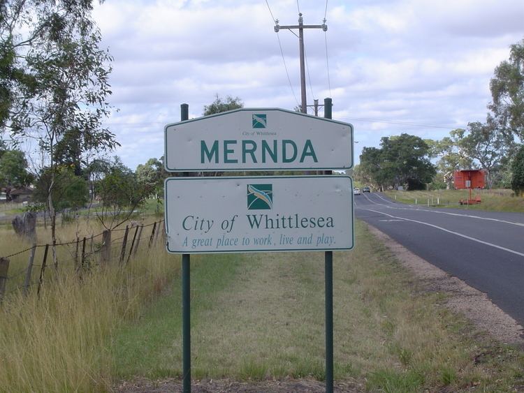
Mernda is a suburb of Melbourne, Victoria, Australia, 27 km north-east of Melbourne's central business district. Its local government area is the City of Whittlesea. At the 2011 Census, Mernda had a population of 6,508.
Contents
- Aerials vol 1 mernda victoria australia dji phantom 3 drone in 4k
- Map of Mernda VIC 3754 Australia
- History
- Today
- Education
- Sports
- Population
- Retail
- Medical facilities
- Community Activity Centre
- References
Map of Mernda VIC 3754, Australia
History
The area was known as Morang and Yan Yean until 1893, when it was renamed Yan Yean South. It was in 1913 that the locality was renamed Mernda, which was derived from an Wurundjeri word meaning earth. In 1913, Mernda contained a school, a Methodist church, a bakery/store, a railway station and a mechanics' institute, as well as the Bridge Inn Hotel. The Post Office opened on 19 February 1875 as Yan Yean and was renamed Yan Yean South in 1892 and Mernda in 1913.
Today
Mernda is named as one of the fastest growing suburbs in Victoria. The area is now being suburbanised with several new estates under construction. The suburb of Mernda consists of a number of new and developing housing subdivisions offering in the new communities of Mernda Villages, Everton Gardens, Bridge Inn Rise, Berry Lane, Mernda Ridge, Woodland Waters, Hawkstowe, Riverdale and Renaissance Rise.
A strategic transport plan developed by the Victorian State Government has earmarked Mernda to be 're-connected' to the rail system by 2027, however the 'South Morang and Mernda Rail Alliance' are seeking an earlier completion date of 2014 due to rising population and congestion in the area. The Mernda Rail extension is now due for completion in 2019, thanks to the Alliance for their continued lobbying.In 2004, residents formed the Mernda and District Residents Association to lobby for the town to be connected to the natural gas pipeline about to be laid in the area. The group was successful and residents now enjoy this essential service.
Education
Mernda is located 15 minutes' drive to RMIT University Bundoora Campus & approximately 30 minutes to La Trobe University. Mernda has two primary schools; Mernda Primary School and St Joseph's Catholic Primary School. The two higher secondary colleges Gilson College, Mernda campus and Ivanhoe Grammar School plenty campus co-educational from Prep to Year 12 are located in Bridge Inn Road in Mernda. Plenty Valley Christian College is also a Prep to year 12 co-educational private school located 5 minutes drive from Mernda. In December 2015 construction of two new government schools began. Mernda Central P-12 College located on Breadalbane Avenue and Mernda South Primary School located on Riverdale Boulevard are slated to open in January 2017.
Sports
Mernda is well known for its sporting teams in the Northern Metropolitan Region of Melbourne. The Mernda Football Club (The Demons) have a long and very successful history dating back more than 100 years in the Whittlesea District Football League, the Diamond Valley Football League and its successor the Northern Football League. They've played finals football in many of those years and have won 18 Premierships in that time.
The Mernda Cricket Club has also been very successful in the region, playing finals and winning Championships regularly in both the JIKA Cricket Association and the Diamond Valley Cricket Association. After winning the Money Shield in season 2006/07 and making the step to A Grade cricket, Mernda won their very first Barclay Shield in season 2008/09. Mernda also enjoyed success in the lower grades of the DVCA during that season, winning the E Grade premiership.
Population
In the 2011 Census, there were 6,508 people in Mernda (State Suburbs) of these 49.3% were male and 50.7% were female. Aboriginal and Torres Strait Islander people made up 0.9% of the population.The median age of people in Mernda (State Suburbs) was 29 years. Children aged 0 – 14 years made up 25.2% of the population and people aged 65 years and over made up 3.2% of the population.In Mernda (State Suburbs) 28.2% of people were attending an educational institution. Of these, 33.9% were in primary school, 19.0% in secondary school and 19.3% in a tertiary or technical institution.n Mernda (State Suburbs), 76.1% of people were born in Australia. The most common countries of birth were England 2.9%, India 1.9%, Italy 1.3%, New Zealand 1.2% and Sri Lanka 1.1%.
Retail
The 4000 square metre Mernda Villages Shopping Centre is located at the corner of Kalkallo Way and Mernda Village Drive and feature a Woolworths supermarket and 10 speciality stores.The centre also include 180 car spaces and bicycle facilities.Mernda is located just a 10-minute drive to Westfield Plenty Valley Shopping Centre and Pacific Epping.
The Mernda Villages post office is located on Mernda Village Drive
Medical facilities
Mernda Village Medical & Dental is located along Mernda Village Drive opposite Woolworths. Maternal Health Services is located in the Mernda Villages Community Activity Centre.
Community Activity Centre
Mernda Villages Community Activity Centre, provides an early learning centre, mobile library service. Child care, Maternal Health Services and an array of activities available at the new state of the art Mernda Villages Community Activity Centre.