
Population 60,342 (2011 census) State electorate(s) Eildon
Eltham
Yan Yean Shire of Nillumbik Yarra Ranges Founded 1994 Council seat Greensborough | Established 1994 Website Shire of Nillumbik Area 435 km² Mayor Cr Peter Clarke | |
 | ||
Federal divisions Division of Jagajaga, Division of McEwen, Division of Scullin Points of interest Warrandyte State Park, Yarra River, Diamond Valley Railway, Sugarloaf Reservoir, Masons Falls Picnic Area | ||
The Shire of Nillumbik is a local government area in Victoria, Australia. It contains outer northern suburbs of Melbourne and rural localities beyond the urban area. It has an area of 435 square kilometres and at the 2011 Census, the Shire had a population of 60,342. It was formed in 1994 from the merger of parts of the Shires of Eltham, Diamond Valley, Healesville and the City of Whittlesea. The Shire uses the tag-line The Green Wedge Shire.
Contents
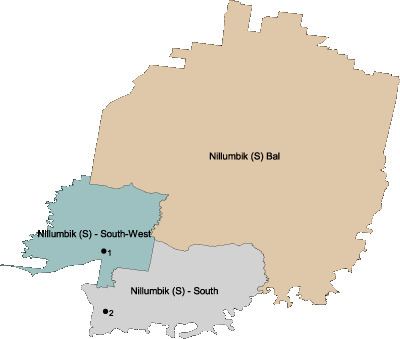
Map of Nillumbik, VIC, Australia
The shire's name is derived from the Parish of Nillumbik, which was named in the 1830s the term nyilum bik meaning "Bad Earth" in the local Aboriginal language Woiwurrung.
Nillumbik was rated third of 590 Australian local government areas in the BankWest Quality of Life Index 2008.
Council
The current council was elected in October 2016 for a four year term.