
Population 292,211 (2015) (8th) Mayor Sam Aziz Area 407 km² | Established 1994 Website City of Casey Founded 1994 | |
 | ||
State electorate(s) CranbourneDandenongGembrookHastingsNarre Warren NorthNarre Warren SouthRowville Points of interest Moonlit Sanctuary Wildlife C, Royal Botanic Gardens, Wilson Botanic Park Ber, Churchill National Park, Wilson Botanic Park | ||
Wesa chau australia day 2015 cranbourne east city of casey
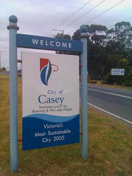
The City of Casey is a local government area in Victoria, Australia in the outer south-eastern suburbs of Melbourne. Casey is Victoria's most populous municipality, with a 2011 census population of 252,382. The municipality's population is predicted to reach 297,034 in 2016. It has an area of 409.9 square kilometres (158.3 sq mi).
Contents
- Wesa chau australia day 2015 cranbourne east city of casey
- Map of Casey VIC Australia
- Geography
- City council
- Places of interest
- Suburbs and towns
- Sport
- Media
- References
Map of Casey, VIC, Australia
The city is named after Lord Casey, the 16th Governor-General of Australia, and was formed in 1994 by the merger of most of the City of Berwick with parts of Shire of Cranbourne (including Cranbourne itself), and the Churchill Park Drive estate within the City of Knox.
Geography
Casey spreads from the base of the Dandenong Ranges in the north to the shoreline of Western Port in the south. It features a wide variety of geographical features, due to its outer metropolitan location.
The north, in the foothills of the Dandenongs, is primarily made up of large blocks of land used for grazing, with some small vineyards in operation. An Urban Growth Boundary has been in place since 2005 to protect this area from future residential subdivision.
South of Cranbourne is mainly farmland, used for market gardening and grazing. A small number of flower farms exist around Junction Village, along with a large chicken processing plant in Clyde. This green area has now been opened up for housing development, in the areas of Cranbourne East, Clyde and Clyde North.
The southern boundary of the municipality is the Western Port shoreline including the fishing villages of Tooradin, Blind Bight, Warneet and Cannons Creek. Protected marine reserves exist along this coastline and extend into the Mornington Peninsula at Pearcedale.
The Cardinia border of the city is formed for some of the boundary by the Cardinia Creek, which is drained through channels into Western Port at its southern end. The popular Riding of the Bounds event takes place along this border, in recognition of Berwick's sister city status with Berwick-upon-Tweed in Northumberland, England.
City council
The City of Casey is divided into six wards.
Elections are held every four years with voters in Balla Balla Ward electing one councillor and all other wards electing two councillors per ward. The eleven councillors vote each year to elect a mayor.
Places of interest
Suburbs and towns
The following suburbs, townships and rural localities are within the City of Casey:
See List of Melbourne suburbs for other Melbourne suburbs and municipalities.
Sport
The Casey Demons (formerly Scorpions), an Australian rules football club represent Casey in the Victorian Football League. Their home ground is at the Casey Fields Complex in Cranbourne. The team was founded in around 1903 in Springvale.
The Casey-South Melbourne Cricket Club also have their home ground at Casey Fields.
The Melbourne Football Club has developed a partnership with the City of Casey, with training sessions and other events held at Casey Fields.
Media
Community Radio – 97.7 FM 3SER