
Population 1,359 (2011 census) Mean max temp Mean min temp Postal code 3980 Federal division Division of Flinders | Postcode(s) 3980 State electorate(s) Hastings Elevation 3 m Local time Monday 12:00 PM | |
 | ||
Weather 19°C, Wind E at 11 km/h, 48% Humidity | ||
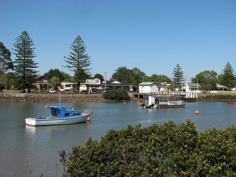
Tooradin is a town in Victoria, Australia, 57 km south east from the central business district of Melbourne. Its local government area is the City of Casey. At the 2011 census, Tooradin had a population of 1359.
Contents
- Map of Tooradin VIC 3980 Australia
- History
- Today
- Transport
- Shopping
- Dining and entertainment
- Tooradin Airfield
- References
Map of Tooradin VIC 3980, Australia
History
The Post Office opened on 21 May 1877.
Today
The town has some attractions such as Sawtell's Inlet, and an old historic weatherboard Fishermans Cottage. It is a popular stopping place for people travelling to Phillip Island.
The town in conjunction with neighbouring township Dalmore has an Australian Rules football team (Tooradin-Dalmore) competing in the South East Football Netball League.
Transport
Tooradin railway station was formerly situated on the South Gippsland railway corridor that operated to its terminus at Yarram in the early 1980s and Leongatha in the mid 1990s. A V/Line road coach service replaced the rail service to Leongatha on July 24, 1993, running between Melbourne and Yarram. However, since the closure of the South Gippsland rail line—with the exception of the locally run tourist railway between Nyora and Leongatha (this section of line closed in 2015) by the Kennett Victorian government on December 14, 1994, the South and West Gippsland Transport Group represented by the local council are campaigning for the rail services to be reinstated beyond the current terminus at Cranbourne by the 2020s, which was promised by Bracks government in 1999.
Shopping
The town has a supermarket, a pharmacy, a medical centre, a bank, a real estate agent, a bakery, a newsagent, and a variety of take away stores and gift shops.
Dining and entertainment
Tooradin has a number of restaurants, including Wings and Fins, Tides, as well as bistro style dining at the Tooradin & District Sports Club.
Tooradin Airfield
Tooradin Airfield is a privately owned field located 4 km (2.5 miles) East of Tooradin town centre, on the South Gippsland Highway. It is home to Adventure Wings, Commando Skydivers, Tooradin Flying School and Fins Restaurant.
The airfield is situated on eight hectares (20 acres) of land and has one bitumen runway (04/22) of 950m (3,117 ft) with lighting, one grass strip of 360m (1,181 ft) and a 310m (1,017 ft) gravel strip. There's a derelict freighter ship behind the runway, can be seen on the Gippsland highway, the ship is the Edwina May.