Chittapur is a panchayat town in Gulbarga district in the state of Karnataka, India. It is also the headquarters of the Chittapuru taluk.
Chitapur is located at 17.12°N 77.08°E / 17.12; 77.08. It has an average elevation of 403 metres (1322 ft). The town is spread over an area of 3.5 km².
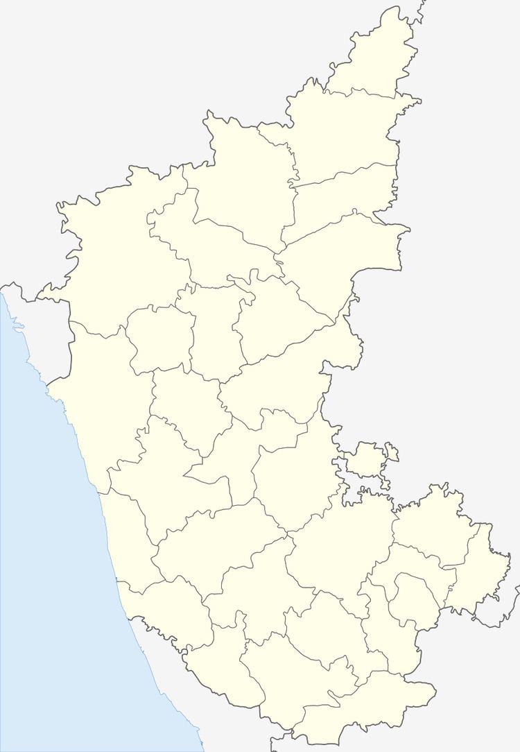
Chitapur Taluk has borders only with other Taluks of Gulbarga district. It borders Gulbarga taluk to the north-west, Chincholi Taluk district to the north, Sedam taluk to the east, Yadgir Taluk to the south-east, Shahpur Taluk to the south and Jevargi Taluk to the west.
Kagna river flows in this taluk.
As of 2001 India census, Chitapur had a population of 26,974. Males constitute 50% of the population and females 50%. Chitapur has an average literacy rate of 46%, lower than the national average of 59.5%; with male literacy of 54% and female literacy of 38%. 16% of the population is under 6 years of age.
Good Shepherd lps chittapurGovt. P U College ChittapurShri Revana Siddappa Appa Degree College ChittapurNagavi Education Society's P U College Of Arts And Science ChittapurNagavi Education Society's High School chittapurNagavi Education Society's Higher Primary School ChittapurShishuvihar higherprimery school chitapurBethany High school Chittapur.Royal Oxford English medium chitapurGovernment High school and Jr. college chitapurG.M.P.S high school chitapurGirls high school chitapurAnnemma Gobbur High school chitapurKelagery Primary School chitapurFrancis school (English Medium)Devanand English and Kannada primary schoolPramod girls schoolJNANA GANGA HIGHER PRIMEY SCHOOL CHITTAPURSmt. SEEMA GHAWARIYS HIGH SCHOOL CHITTAPURadarsha vidyalaya (R M S A) English medium school chittapurAl-Hikmat Urdu medium primary schoolSARASATI JNANA MANDIRA ENGLISH MEDIUM PRIMARY SCHOOL STATION AREA CHITTAPURExcellent primary School Chittapur.Hazrat chita sha wali and Hazrat peer quadri dargah a 12th-century Sufi saint tombs located at baherpeth Chittapur.Chitapur Nagavi village in Chitapur Taluk was the location of a ghatika which is an ancient education centre for higher learning.Sannati village in Chitapur Taluk along the banks of the river Bhima where rock edicts of the period of the King Ashoka and a possible early Buddhist settlement has been excavated.Kanaganahalli (3-km from Sannati); also on the banks of the river Bhima is the place where an ancient Buddhist Mahastupa site has been excavated.