District Gulbarga PIN 585 307 Area 6 km² Population 20,897 (2011) Area code 08475 | Time zone IST (UTC+5:30) Vehicle registration KA Elevation 462 m Local time Sunday 3:25 PM ISO 3166 code ISO 3166-2:IN | |
 | ||
Weather 36°C, Wind SW at 13 km/h, 25% Humidity | ||
Chincholi is a panchayat town and a taluka in Gulbarga district in the state of Karnataka, India.
Contents
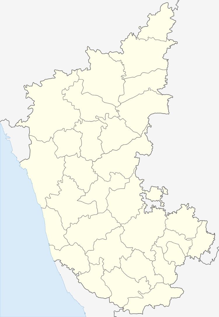
Map of Chincholi, Karnataka 585307
Geography
Chincholi is located at 17.47°N 77.43°E / 17.47; 77.43. It has an average elevation of 462 metres (1515 feet). The town is spread over an area of 6 km².
Demographics
As of 2011 India census Chincholi had a population of 20897 with males 10852 and females 10045. Chincholi Taluk borders the following taluks of Gulbarga district: Gulbarga Taluk to the west, Chitapur taluk to the south-west and Sedam Taluk to the south. It also borders Humnabad Taluk of Bidar district to the north and Tandur Mandal of Ranga Reddy district of Telangana to the east and zaheerabad mandal of medak district of Telangana to northeast
Politics
Chincholi is part of Chincholi Assembly constituency and Bidar (Lok Sabha constituency)
Transport
KSRTC bus facility available to travel within the karnataka state and nearby states ( Maharastra and Telangana ).The nearest railway station is (30 km) tandur railway station TDU .The nearest airport is (146 km) Rajiv Gandhi International Airport, Hyderabad.
