
Elevation 535 m | ||
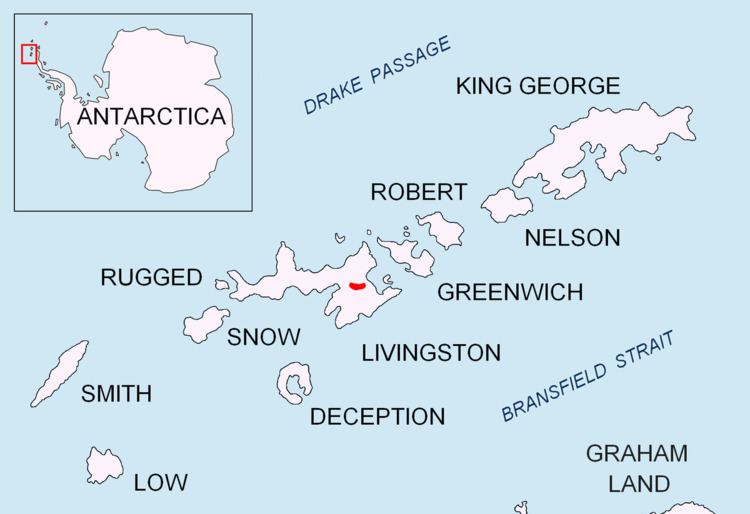 | ||
Chirpan Peak (Vrah Chirpan \'vr&h chir-'pan) is an ice covered 535 m peak forming the western extremity of Bowles Ridge on Livingston Island in the South Shetland Islands, Antarctica overlooking Perunika Glacier to the west and south. The peak is named after the town of Chirpan in southern Bulgaria.
Contents
Map of Chirpan Peak, Antarctica
Location
The peak is located at 62°36′53.5″S 60°13′34″W which is 1.23 km west of the summit Mount Bowles, 1.01 km south-southwest of Hemus Peak, 2.85 km east-northeast of Rezen Knoll and 1.12 km northwest of Svoge Knoll.
Bulgarian mapping in 2005 and 2009 from the Tangra 2004/05 topographic survey.
Maps
References
Chirpan Peak Wikipedia(Text) CC BY-SA