Area 269.3 km² | Time zone BST (UTC+6) Population 231,370 (2011) | |
 | ||
Website Official Map of Chowgacha | ||
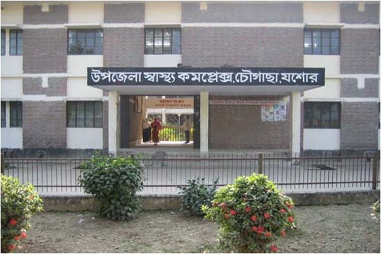
Chowgacha (Bengali: চৌগাছা) is an Upazila of Jessore District in the Division of Khulna, Bangladesh.
Contents
- Map of Chaugachha Upazila Bangladesh
- History
- Geography
- Demographics
- Points of interest
- Administration
- Notable residents
- References
Map of Chaugachha Upazila, Bangladesh
History
There is a long history behind Chowgacha. It is named after the four banyan tree beside the Chowgacha.
Geography
Chowgacha is located at 23.2667°N 89.0250°E / 23.2667; 89.0250 . The main city is on the bank of the river Kopothakho River. It has a total area of 269.31 km².
Chaugachha Upazila is bounded by Maheshpur, Kotchandpur and Kaliganj upazilas on the north, Jessore Sadar and Kaliganj upazilas on the east, Sarsha and Jhikargachha upazilas and Bagdah community development block in North 24 Parganas district in West Bengal, India on the south and Maheshpur Upazila on the west.
Demographics
As of the 2011 Bangladesh census, Chowgacha Upazila had a population of 231,370. In 1991, males constituted 51.6% of the population, and females 48.4%; 91,297 of the population were aged 18 or over. Chowgacha had an average literacy rate of 25.5% (7+ years), against the national average of 32.4% literate.
Points of interest
Nilkuthi, Muktinagar, Bergobindopur baor.
Administration
Chowgacha has 11 Unions/Wards, 149 Mauzas/Mahallas, and 166 villages.
