
Area 435.2 km² | Time zone BST (UTC+6) Population 742,898 (2011) | |
 | ||
Website Official Map of Jessore Sadar | ||
Jessore Sadar (Bengali: যশোহর সদর) is an Upazila of Jessore District in the Division of Khulna, Bangladesh. Its administrative centre is the town of Jessore, which is also the centre of the district.
Contents
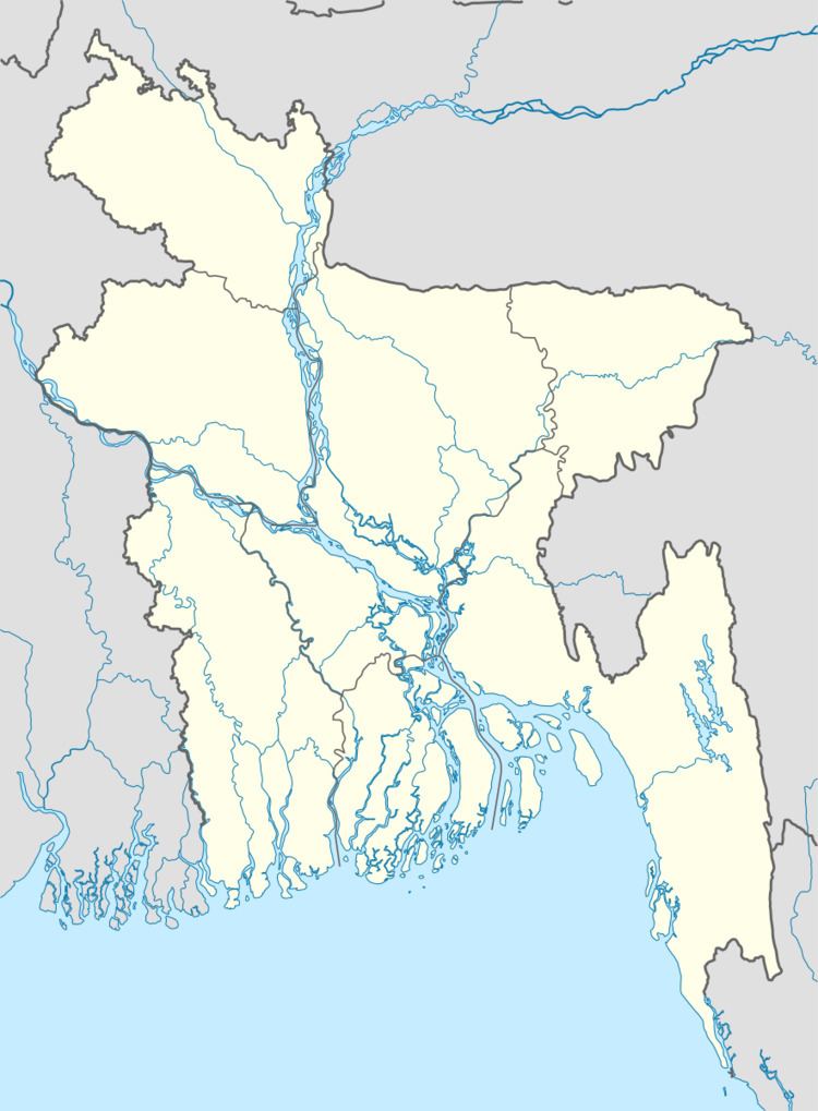
Map of Jessore Sadar Upazila, Bangladesh
Geography
Jessore Sadar is located at 23.1681°N 89.2042°E / 23.1681; 89.2042. It has 94,348 households and a total area of 435.22 km².
Demographics
As of the 1991 Bangladesh census, Jessore Sadar had a population of 530,582. Males constitute 52.85% of the population, and females 47.15%. This Upazila's eighteen-up population was 281,108. Jessore Sadar has an average literacy rate of 44.2% (7+ years), against the national average of 32.4% literate. By the 2011 Bangladesh census, the upazila's population had grown to 742,898.
Administration
Jessore Sadar has 18 Unions/Wards, 326 Mauzas/Mahallas, and 250 villages. It has class one Pouroshave (Municipality). The town of Jessore is on the banks of the Bhairab River. It has one of the famous colleges of Bangladesh-Michael Modhushudon (MM) College.