
Length 23 mi (37 km) | Trail difficulty easy | |
 | ||
Season year round, some parts not plowed in winter Hazards street crossings, narrow passing Trailheads Museum of Science, Norumbega Park | ||
Bike boston ride the charles river bike path
The Charles River Bike Path is a mixed-use path in the Boston, Massachusetts area. It follows both shores of the Charles River from Boston, Massachusetts to Norumbega Park in Newton, passing through Watertown and Waltham. The path consists of several segments in the Charles River Reservation separated by road and bridge crossings and forms part of the planned East Coast Greenway, the 3,000-mile trail system connecting cities from Maine to Florida.
Contents
- Bike boston ride the charles river bike path
- On the charles river bike path boston
- Charles River Reservation
- Upper Charles River Reservation
- Eastern connections
- References
On the charles river bike path boston
Charles River Reservation
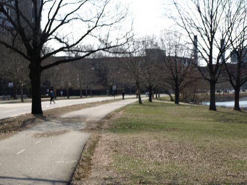
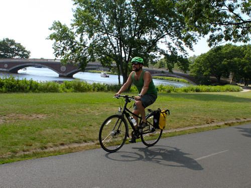
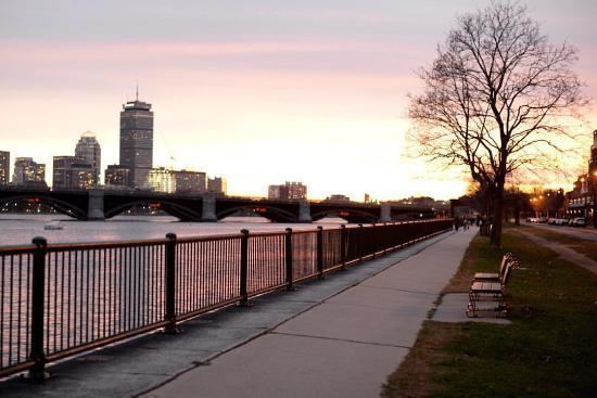
The Paul Dudley White Bicycle Path runs on both sides of the river within the Charles River Reservation. From the Museum of Science, Boston on the Charles River Dam Bridge, they run on sidewalk or striped asphalt path to Watertown Square (Galen Street/Route 16 bridge), a loop of 17.1 miles (27.5 km). The paths run along the edge of Cambridge and Watertown on the north; and the West End, Back Bay, and Allston-Brighton neighborhoods of Boston on the south side.
Upper Charles River Reservation
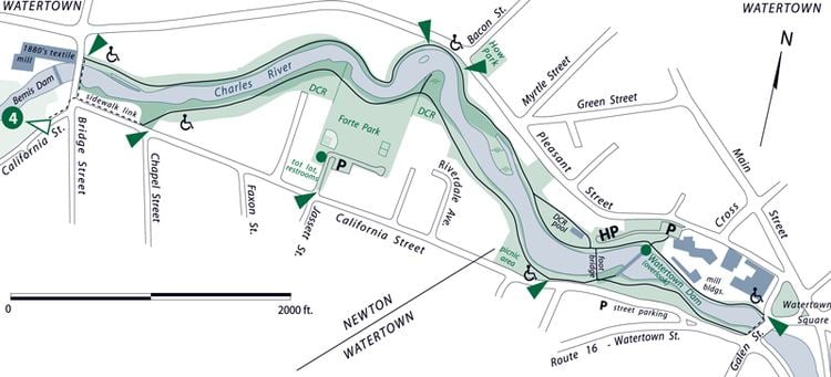
In 2004, a $9M master plan to extend the path westward from Watertown Square to Norumbega Park in Newton was completed.
The path continues along the north side of the river from Watertown Square to Bridge Street, there crossing back from Watertown to Newton. This segment was completed in 1997.
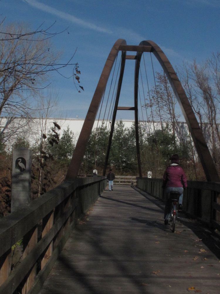
The riverwalk then continues along the south bank, crossing back to the north bank at the Blue Heron Bridge, built 2004 just for the path, and continuing to Moody Street in Waltham, near the Charles River Museum of Industry and Waltham Common. The route extends upstream with a combination of paths and streets, to Auburndale, the Newton neighborhood where Norumbega Park is located.
There are plans to extend the path upstream along the curving river to Needham, Dedham, and the West Roxbury neighborhood of Boston.
Eastern connections
Bike recreation opportunities continue to the east with North Point Park in Cambridge, and Nashua Street Park on the Boston side. There are discontinuities near North Station and the Zakim Bridge before the Boston Harborwalk continues on both sides of the harbor.
The proposed extension of the Somerville Community Path would connect the Boston end of the Charles River Path to the network of mixed-use trails to the northwest.