
Country United States Elevation 263 m Local time Monday 4:51 PM | GNIS feature ID 0453210 Area 68.66 km² Population 2,256 (2010) | |
 | ||
Weather 13°C, Wind S at 21 km/h, 96% Humidity | ||
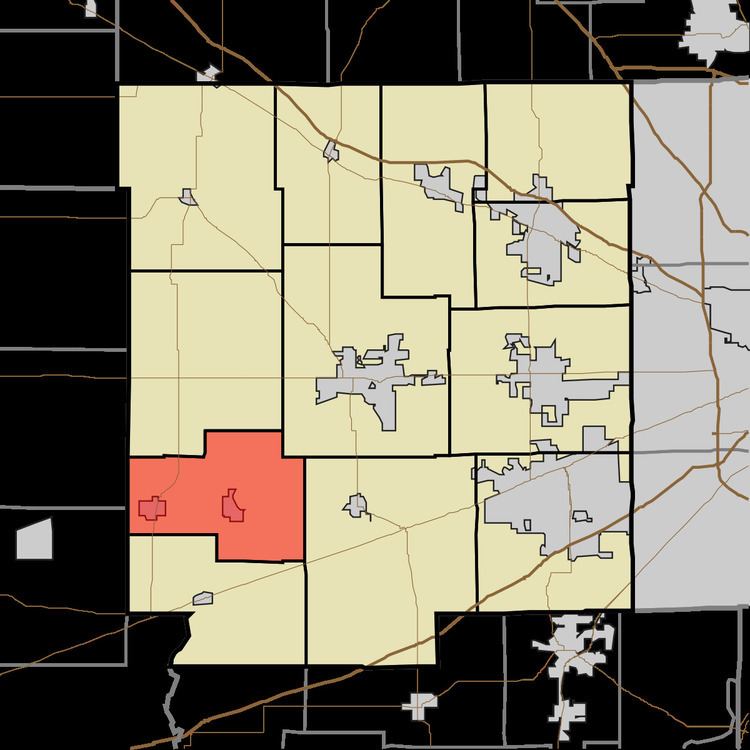
Clay Township is one of twelve townships in Hendricks County, Indiana, United States. As of the 2010 census, its population was 2,256.
Contents
- Map of Clay Township IN USA
- History
- Geography
- Cities and towns
- Unincorporated towns
- Adjacent townships
- Cemeteries
- Major highways
- References
Map of Clay Township, IN, USA
History
Clay Township was organized in 1845.
Geography
Clay Township covers an area of 26.51 square miles (68.7 km2); of this, 0.01 square miles (0.026 km2) or 0.01 percent is water.
Cities and towns
Unincorporated towns
(This list is based on USGS data and may include former settlements.)
Adjacent townships
Cemeteries
The township contains eight cemeteries: Amo, Bethel Lutheran, Coatesville, Hadley Friends, Moravian, Old Spring, Springtown Methodist and West Branch Friends.
Major highways
References
Clay Township, Hendricks County, Indiana Wikipedia(Text) CC BY-SA