
Country United States Elevation 258 m Population 8,430 (2010) | GNIS feature ID 0453145 Area 93.29 km² Local time Sunday 5:29 PM | |
 | ||
Weather 17°C, Wind SW at 27 km/h, 28% Humidity | ||
Buck Creek Township is one of nine townships in Hancock County, Indiana, United States. As of the 2010 census, its population was 8,430 and it contained 3,158 housing units.
Contents
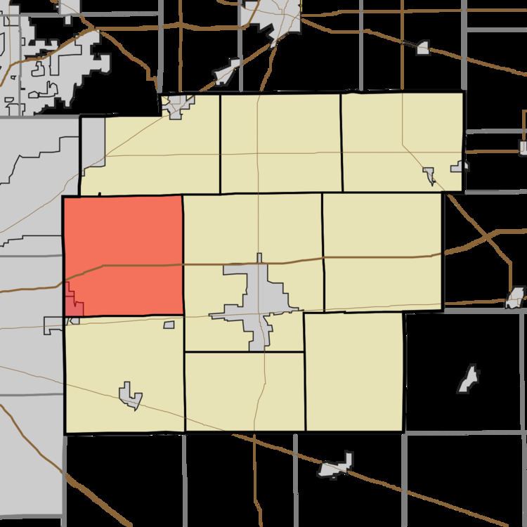
- Map of Buck Creek Township IN USA
- History
- Geography
- Cities and towns
- Unincorporated towns
- Adjacent townships
- Cemeteries
- Major highways
- Airports and landing strips
- References
Map of Buck Creek Township, IN, USA
History
Buck Creek Township was established in 1831. It was named from Buck Creek, its largest waterway.
Lockheed PV-2 Harpoon No. 37396 was listed on the National Register of Historic Places in 2009.
Geography
According to the 2010 census, the township has a total area of 36.02 square miles (93.3 km2), of which 35.93 square miles (93.1 km2) (or 99.75%) is land and 0.09 square miles (0.23 km2) (or 0.25%) is water. The streams of Amity Branch, Lead Creek and Snider Branch run through this township.
Cities and towns
Unincorporated towns
(This list is based on USGS data and may include former settlements.)
Adjacent townships
Cemeteries
The township contains nine cemeteries: Arnett, Burris, Fish, Griffith, Mount Pleasant, Pet, Scotten, Snider and Steele.