
Country United States Elevation 262 m Population 2,392 (2010) | GNIS feature ID 0453133 Area 62.78 km² Local time Thursday 12:13 PM | |
 | ||
Weather 4°C, Wind W at 26 km/h, 59% Humidity | ||
Brandywine Township is one of nine townships in Hancock County, Indiana, United States. As of the 2010 census, its population was 2,392 and it contained 892 housing units.
Contents
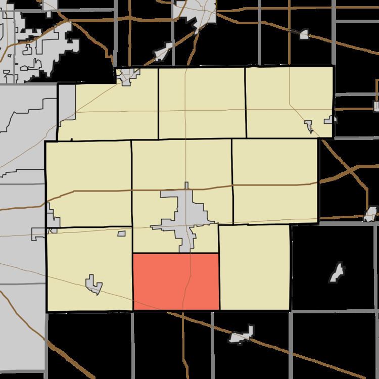
- Map of Brandywine IN USA
- History
- Geography
- Cities and towns
- Unincorporated towns
- Adjacent townships
- Cemeteries
- Major highways
- Airports and landing strips
- References
Map of Brandywine, IN, USA
History
Brandywine Township was organized in 1828. It was named from the Brandywine Creek.
Geography
According to the 2010 census, the township has a total area of 24.24 square miles (62.8 km2), of which 24.23 square miles (62.8 km2) (or 99.96%) is land and 0.01 square miles (0.026 km2) (or 0.04%) is water. The streams of Maxwell Ditch and Wilson Ditch run through this township.
Cities and towns
Unincorporated towns
(This list is based on USGS data and may include former settlements.)
Adjacent townships
Cemeteries
The township contains one cemetery, Little Sugar Creek.
Major highways
Airports and landing strips
References
Brandywine Township, Hancock County, Indiana Wikipedia(Text) CC BY-SA