
Country United States Elevation 277 m Local time Sunday 7:26 AM | GNIS feature ID 0453117 Area 77.26 km² Population 1,417 (2010) | |
 | ||
Weather -1°C, Wind SE at 18 km/h, 67% Humidity | ||
Blue River Township is one of nine townships in Hancock County, Indiana, United States. As of the 2010 census, its population was 1,417 and it contained 542 housing units.
Contents
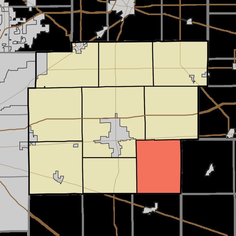
- Map of Blue River Township IN USA
- History
- Geography
- Unincorporated towns
- Adjacent townships
- Cemeteries
- References
Map of Blue River Township, IN, USA
History
Blue River was organized in 1828. It was named from the Blue River, once an important waterway for mills.
County Line Bridge was listed on the National Register of Historic Places in 1994.
Geography
According to the 2010 census, the township has a total area of 29.83 square miles (77.3 km2), of which 29.75 square miles (77.1 km2) (or 99.73%) is land and 0.08 square miles (0.21 km2) (or 0.27%) is water. The streams of Dilly Creek and Nameless Creek run through this township.
Unincorporated towns
(This list is based on USGS data and may include former settlements.)
Adjacent townships
Cemeteries
The township contains three cemeteries: Gilboa, Haskett, and Westland Friends Church.