
Area 207 km² | ||
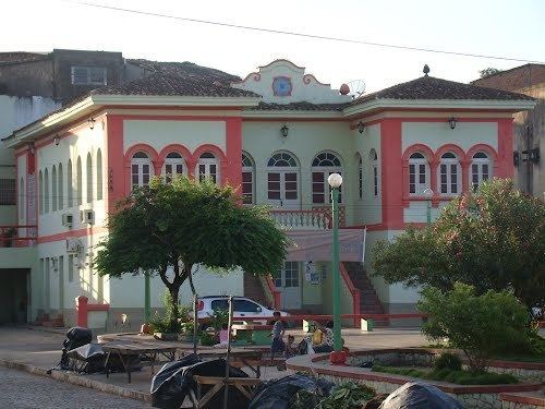 | ||
Catende is a Brazilian municipality in the state of Pernambuco. Has an estimated population in 2009 of 35.251 inhabitants in a total area of 206.92 km². The economy is based on the cultivation of sugarcane and the production of derived products (sugar and ethanol). Catende used to boast the world's largest sugar mill.
Contents
Map of Catende - State of Pernambuco, Brazil
Geography
Economy
The main economic activities in Catende are based in industry, commerce and agribusiness especially sugarcane and cattle.
Economic Indicators
Economy by Sector
References
Catende Wikipedia(Text) CC BY-SA