
Area 376.3 km² | Local time Tuesday 10:26 AM | |
 | ||
Weather 31°C, Wind SE at 11 km/h, 63% Humidity | ||
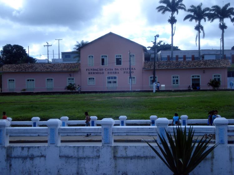
Palmares is a city in northeastern Brazil, in the State of Pernambuco, with 58.819 inhabitants, according with IBge 2009. Its main activity is the combined field of agriculture and livestock (Portuguese: agropecuária). It received its name from the Portuguese people who named it that due to the number of palm trees in the area where run-away slaves had created approximately 16 quilombos, led by Zumbi.
Contents
Map of Palmares, State of Pernambuco, Brazil
Geography
Economy
The main economic activities in Palmares are based in industry, commerce and agribusiness especially, sugarcane, bananas; and creations of cattle, horses and mules.
Economic Indicators
Economy by Sector 2006
References
Palmares, Pernambuco Wikipedia(Text) CC BY-SA