
Area 399.5 km² | Local time Monday 3:10 PM | |
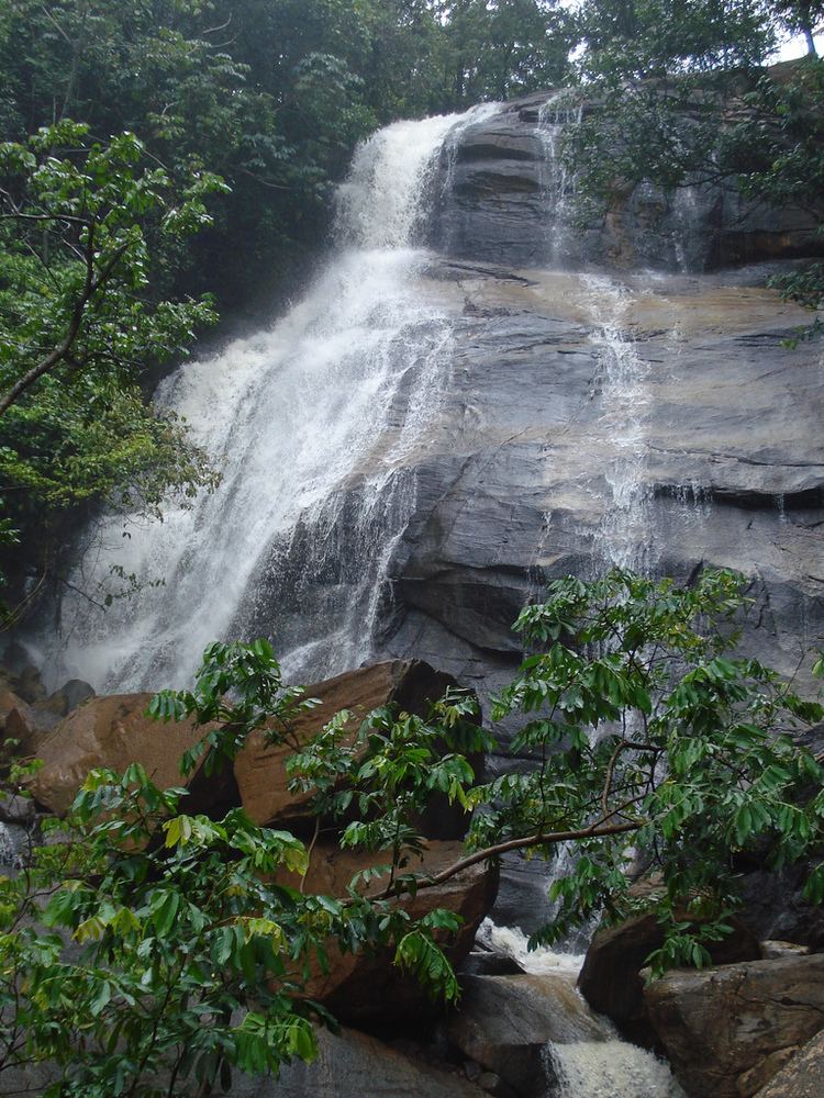 | ||
Weather 29°C, Wind E at 19 km/h, 56% Humidity Points of interest Eco Parque, Cachoeira Véu de Noiva, Cachoeira Veu da noiva II, Solar de Bonito | ||
Bonito pernambuco brasil
Bonito (Beautiful) (population 40.832) is a city in northeastern Brazil, in the State of Pernambuco. It lies in the mesoregion of Agreste of Pernambuco.Has 399.5 sq/km of total area.
Contents
- Bonito pernambuco brasil
- Map of Bonito State of Pernambuco Brazil
- Geography
- Economy
- Economic Indicators
- References
Map of Bonito, State of Pernambuco, Brazil
Geography
Economy
Principal economic activity for Bonito is the agricultural sector. Sugar cane, cattle, tuber production, poultry and fruit. tourism is an emerging field due to the many natural waterfalls accessible by a newly asphalted highway.
Bonito is experiencing a real estate boom driving up the prices of building lots and rental units, proposed improvements to the main route into the city will further drive development.
Economic Indicators
Economy by Sector 2006
References
Bonito, Pernambuco Wikipedia(Text) CC BY-SA