Rahul Sharma (Editor)

Maraial

Updated on
Edit
Like
Comment
Share on FacebookTweet on TwitterShare on LinkedInShare on Reddit
Country
  
Brazil

Region
  
Zona da mata

Area
  
192.2 km²

State
  
Pernambuco

Elevation
  
212 m (696 ft)

Maraial httpsiytimgcomviHIRva53YErkhqdefaultjpg

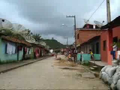
Maraial is a city in Pernambuco, Brazil. It is located in Zona da mata Pernambucana at 154 km of the state capital Recife.

Contents

Map of Maraial - State of Pernambuco, Brazil

Geography

  • State - Pernambuco
  • Region - Zona da mata Pernambucana
  • Boundaries - Jaqueira (N); Alagoas state (S); Xexéu and Catende (E); São Benedito do Sul (W)
  • Area - 192.25 km2
  • Elevation - 212 m
  • Hidrography - Una river
  • Vegetation - Subperenifólia forest
  • Clima - Hot tropical and humid
  • Annual average temperature - 23.6 c
  • Distance to Recife - 154 km
  • Economy

    The main economic activities in Maraial are based in food and beverage industry and agribusiness, especially sugarcane, bananas, pineapples, cattle and goats.

    Economic Indicators

    Economy by Sector (2006)

    References

    Maraial Wikipedia