
Country United States Elevation 241 m Local time Tuesday 9:41 AM | GNIS feature ID 0453155 Area 83.79 km² Population 1,191 (2010) | |
 | ||
Weather 13°C, Wind S at 16 km/h, 97% Humidity | ||
Campbell Township is one of eleven townships in Jennings County, Indiana, United States. As of the 2010 census, its population was 1,191 and it contained 498 housing units.
Contents
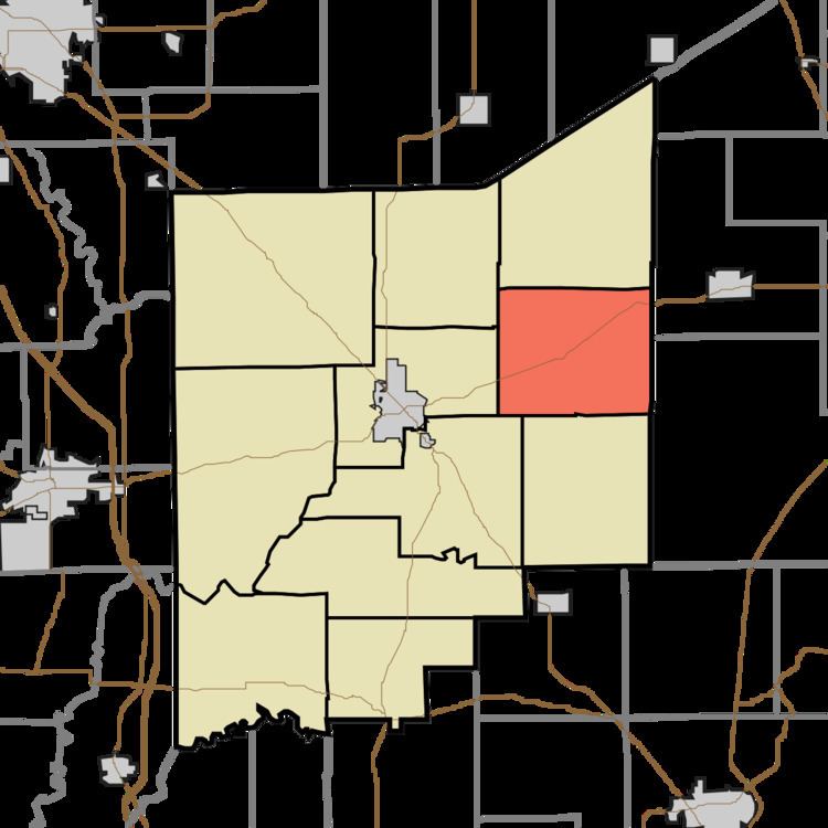
- Map of Campbell Township IN USA
- History
- Geography
- Unincorporated towns
- Adjacent townships
- Cemeteries
- Major highways
- References
Map of Campbell Township, IN, USA
Campbell Township was established in 1825.
History
Edward's Ford Bridge was listed on the National Register of Historic Places in 1996.
Geography
According to the 2010 census, the township has a total area of 32.35 square miles (83.8 km2), of which 32.06 square miles (83.0 km2) (or 99.10%) is land and 0.28 square miles (0.73 km2) (or 0.87%) is water.
Unincorporated towns
Adjacent townships
Cemeteries
The township contains five cemeteries: Butlerville, Hopewell, Otter Creek, Saint Bridget and State School.
Major highways
References
Campbell Township, Jennings County, Indiana Wikipedia(Text) CC BY-SA