
Country United States GNIS feature ID 453845 Local time Saturday 12:06 AM Area code 812 | FIPS code 18-69264 Elevation 278 m Population 999 (2010) | |
 | ||
Weather 4°C, Wind NW at 16 km/h, 90% Humidity Area 179.7 km² (179 km² Land / 70 ha Water) | ||
Shelby Township is one of eleven townships in Ripley County, Indiana. As of the 2010 census, its population was 999 and it contained 387 housing units.
Contents
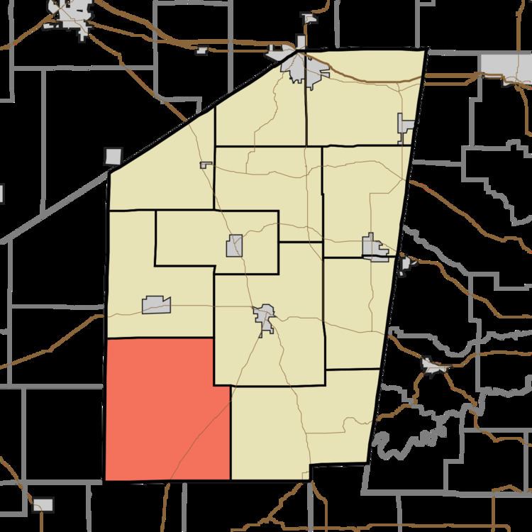
Map of Shelby Township, IN, USA
History
Collin's Ford Bridge, Marble Creek Bridge, and Old Timbers in the Big Oaks National Wildlife Refuge are listed on the National Register of Historic Places.
Geography
According to the 2010 census, the township has a total area of 69.39 square miles (179.7 km2), of which 69.11 square miles (179.0 km2) (or 99.60%) is land and 0.27 square miles (0.70 km2) (or 0.39%) is water.
Unincorporated towns
Extinct town
References
Shelby Township, Ripley County, Indiana Wikipedia(Text) CC BY-SA