
Country United States Elevation 204 m Local time Tuesday 10:32 AM | GNIS feature ID 0453183 Area 65.29 km² Population 8,894 (2010) | |
 | ||
Weather 13°C, Wind S at 19 km/h, 96% Humidity | ||
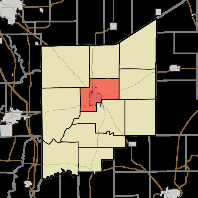
Center Township is one of eleven townships in Jennings County, Indiana, United States. As of the 2010 census, its population was 8,894 and it contained 3,795 housing units.
Contents
- Map of Center Township IN 47265 USA
- History
- Geography
- Cities and towns
- Unincorporated towns
- Adjacent townships
- Cemeteries
- Major highways
- Airports and landing strips
- References
Map of Center Township, IN 47265, USA
History
Center Township was established in 1855, and was so named from its position at the geographical center of Jennings County.
Geography
According to the 2010 census, the township has a total area of 25.21 square miles (65.3 km2), of which 25.2 square miles (65 km2) (or 99.96%) is land and 0.01 square miles (0.026 km2) (or 0.04%) is water. The streams of Deer Creek, Long Branch, Pleasant Run and Woods Branch run through this township.
Cities and towns
Unincorporated towns
Adjacent townships
Cemeteries
The township contains three cemeteries: Hill Crest, Saint Marys and Summerfield.
Major highways
Airports and landing strips
References
Center Township, Jennings County, Indiana Wikipedia(Text) CC BY-SA