
Length 120.1 km | ||
 | ||
South end: SR 198 near Priest Valley | ||
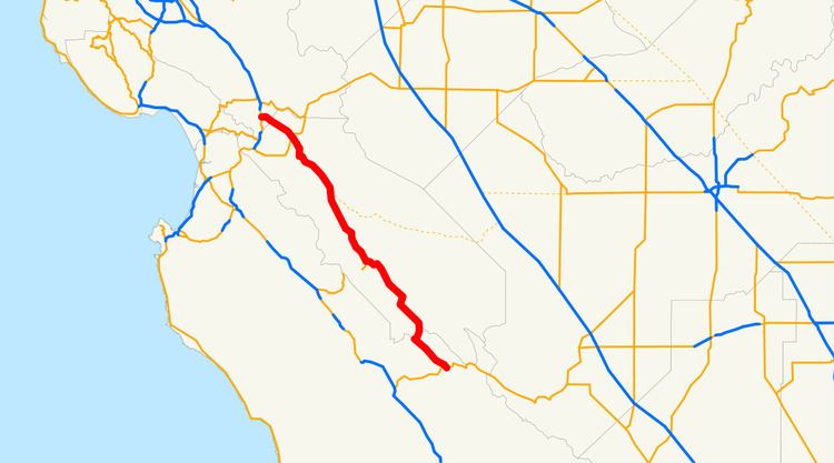
State Route 25 is a state highway in the U.S. state of California between Gilroy and State Route 198. This route is part of the California Freeway and Expressway System and is eligible for the State Scenic Highway System.
Contents
Map of CA-25, California, USA
Route description
SR 25 (also known as Bolsa Road and the Airline Highway) begins at the intersection of Peach Tree Road and State Route 198 about 11 miles west of Priest Valley, in Monterey County, and is the northern extension of Peach Tree Road. It heads northwest, crossing into San Benito County and passing through the community of Bitterwater. SR 25 provides access to the Pinnacles National Park east entrance, running parallel to the San Andreas Fault. Running parallel to the Gabilan Range and Diablo Range, SR 25 passes through the communities of Paicines and Tres Pinos and the city of Hollister. SR 25 continues northwest from Hollister, intersecting with State Route 156, and ends at U.S. Route 101 in Gilroy.
History
One story of where the highway got its name is that before the advent of radio navigation, airline pilots flying north-south routes between San Francisco and Los Angeles would use this highway as a visual aid to confirm that they were on the correct route. This is why it is called a historic route.
Major intersections
Except where prefixed with a letter, postmiles were measured on the road as it was in 1964, based on the alignment that existed at the time, and do not necessarily reflect current mileage. R reflects a realignment in the route since then, M indicates a second realignment, L refers an overlap due to a correction or change, and T indicates postmiles classified as temporary (for a full list of prefixes, see the list of postmile definitions). Segments that remain unconstructed or have been relinquished to local control may be omitted. The numbers reset at county lines; the start and end postmiles in each county are given in the county column.