
Existed: 1964 – present Length 22.68 km | Constructed 1964 | |
 | ||
East end: US 101 near San Juan Bautista | ||
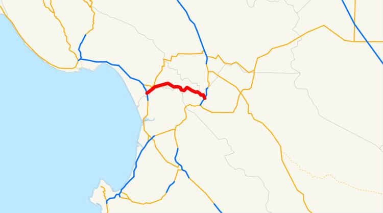
State Route 129 (SR 129) is a state highway in the U.S. state of California in Santa Cruz County. The highway connects State Route 1 in Watsonville east to U.S. Route 101.
Contents
Map of CA-129, California, USA
Route description
The route begins at State Route 1 with an interchange. The road then heads northeast into the town of Watsonville along Riverside Road, where it intersects County Route G12. Heading eastward out of town, SR 129 roughly parallels the Pajaro River along the Santa Cruz-San Benito County line before entering San Benito County near Chittenden. Crossing the Pajaro River, the road runs southeast along Chittenden road to end at U.S. Route 101.
Major intersections
Except where prefixed with a letter, postmiles were measured on the road as it was in 1964, based on the alignment that existed at the time, and do not necessarily reflect current mileage. R reflects a realignment in the route since then, M indicates a second realignment, L refers an overlap due to a correction or change, and T indicates postmiles classified as temporary (for a full list of prefixes, see the list of postmile definitions). Segments that remain unconstructed or have been relinquished to local control may be omitted. The numbers reset at county lines; the start and end postmiles in each county are given in the county column.