
Easiest route Hike, class 1 Prominence 746 m | Topo map USGSBurnt Peak Elevation 1,764 m Mountain range Sierra Pelona Mountains | |
 | ||
Parent range Sierra Pelona Mountains Similar Sawmill Mountain, Eagle Rest Peak, Antimony Peak, Hines Peak, Big Pine Mountain | ||
Burnt Peak is the highest peak of the Sierra Pelona Mountains, located in northwestern Los Angeles County, Southern California.
Contents
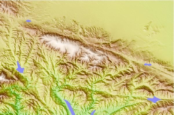
Map of Burnt Peak, California 93532, USA
Geography
The mountain, 5,791 feet (1,765 m) in elevation, is protected within the Angeles National Forest. It is north of Santa Clarita, west of Lake Hughes, and east of the Ridge Route. Just a few miles north lies the unincorporated town of Three Points.
The Sierra Pelona Mountains are part of the Transverse Ranges System.
References
Burnt Peak (California) Wikipedia(Text) CC BY-SA