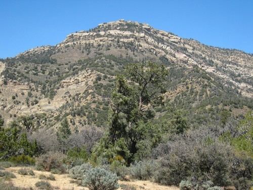
Elevation 1,830 m | Topo map USGS Eagle Rest Peak Prominence 295 m | |
 | ||
Easiest route Scramble, mostly class 2 with a class 3 summit block Similar Antimony Peak, Sawmill Mountain, Burnt Peak, Cerro Noroeste, Big Pine Mountain | ||
Eagle Rest Peak is a remote peak in the San Emigdio Mountains, located in southern Kern County, California, 12 miles (19 km) west of the settlement of Grapevine and Interstate 5.
Contents
Map of Eagle Rest Peak, California 93225, USA
Wind Wolves PreserveEdit
The mountain is in the Wind Wolves Preserve, owned by The Wildlands Conservancy.
References
Eagle Rest Peak Wikipedia(Text) CC BY-SA
