
Topo map USGS Big Pine Mountain Elevation 2,073 m | Easiest route Dirt Road Prominence 658 m | |
 | ||
Similar Little Pine Mountain, Eagle Rest Peak, Caliente Mountain, Sawmill Mountain, Burnt Peak | ||
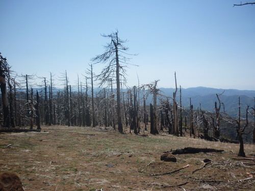
Big Pine Mountain is a mountain located in the San Rafael Mountains of the California Transverse Ranges. High enough to receive snowfall during the winter, The summit, at 6820+ feet (2,073+ m), is the highest point in the San Rafael Mountains, the Dick Smith Wilderness, and Santa Barbara County.
Map of Big Pine Mountain, California, USA
References
Big Pine Mountain Wikipedia(Text) CC BY-SA