
- location near Tomahawk Gap | - elevation 477 m (1,565 ft) - elevation 40 m (131 ft) | |
 | ||
- left Tea Tree Creek, Ryson Creek Sources Mount Beenak, Yarra Ranges Council | ||
The Bunyip River is a perennial river of the Western Port catchment, located in the West Gippsland region of the Australian state of Victoria.
Contents
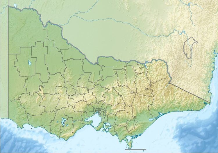
Map of Bunyip River, Victoria, Australia
Location and features
The Bunyip River rises below Mount Beenak, part of the southern portion of the Yarra Ranges within the Bunyip State Park, near Tomahawk Gap, and flows generally south by east then south, at times via an aqueduct, joined by four minor tributaries, before reaching its confluence with the Tarago River to form the Main Drain. From there the river used to flow into the Koo-Wee-Rup Swamp, the largest wetland in Victoria, covering an area of 40,000 hectares (98,842 acres), before flowing into Western Port. The river descends approximately 437 metres (1,434 ft) over its 27 kilometres (17 mi) course.
At the confluence of the Bunyip and Tarago Rivers, the rivers are traversed by the Princes Freeway, north of the locality of Bunyip.
Etymology
In the Australian Aboriginal Boonwurrung language the name for the river is Banib, meaning "a fabulous, large, black amphibious monster".
The river is named after the bunyip, an Aboriginal mythological and legendary character from lakes and swamps.