
Managing authorities Area 166 km² | Established 1992 Website Bunyip State Park Phone +61 13 19 63 | |
 | ||
Hours Open today · Open 24 hoursTuesdayOpen 24 hoursWednesdayOpen 24 hoursThursdayOpen 24 hoursFridayOpen 24 hoursSaturdayOpen 24 hoursSundayOpen 24 hoursMonday(Labour Day)Open 24 hoursHours might differ Similar Cathedral Range State Park, Moondarra State Park, Toolangi State Forest, Mount Disappointment, Holey Plains State Park | ||
Bunyip state park 4wding 16 11 14
Bunyip State Park is a 166-square-kilometre (64 sq mi) state park 65 kilometres (40 mi) east of Melbourne, near the town of Gembrook, in the southern slopes of the Yarra Ranges within the Australian state of Victoria.
Contents
Western track in bunyip state park
Location and features
The area was used for logging from 1898 until 1990, and was turned into a state park two years later. The park is named after the bunyip, an Aboriginal mythical creature that was thought to live along the Bunyip River that flows through the park.
The terrain in the park is mostly dense forest and swampy heathland, with Prickly Tea-tree, Mountain Ash and Mealy Stringybark present.
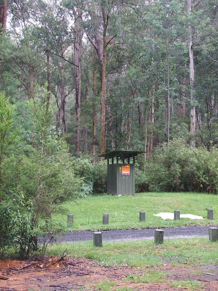
Camping is available at Nash Creek Camping Area under towering Mountain Ash. Black Snake Creek Road runs through the centre of the park from east to west. To the south of Black Snake Creek Road the park is suitable for walking, mountain bike riding and horse riding. To the north for trail bike and four wheel driving. Parks Victoria have a few maps with suggested rides, drives and walks.
About 45% percent of the park was burnt in the 2009 Black Saturday bushfires.