Width 7.3 km (4.54 mi) | Length 18.15 km (11.278 mi) Population Uninhabited | |
 | ||
Liège Island (in English also Liege Island) is an island, 17 kilometres (9 nmi) long and 5.6 kilometres (3 nmi) wide, lying immediately northeast of Brabant Island in the Palmer Archipelago, and separated from Hoseason Island and Christiania Islands to the northeast by Croker Passage. Its interior is occupied by Brugmann Mountains.
Contents
Map of Liege Island, Antarctica
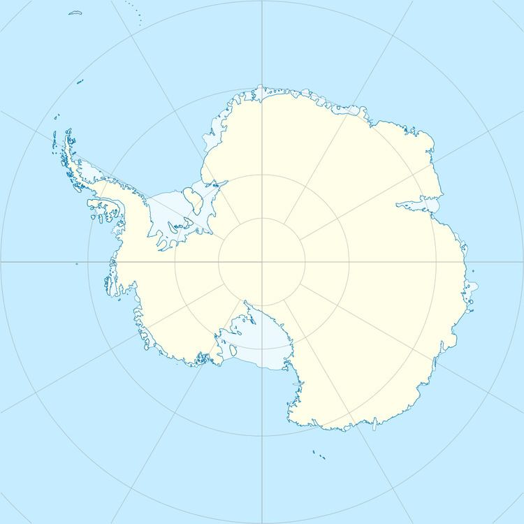
Liège Island is located at 64°01′10″S 61°56′00″W. British mapping in 1978 and 1980.
The island was charted by the Belgian Antarctic Expedition (1897–1899) under Adrien de Gerlache, who named it for the province of Liège, Belgium.
Maps
References
Liège Island Wikipedia(Text) CC BY-SA
