
 | ||
The Bingen Forest (German: Binger Wald) is part of the Hunsrück, a low mountain range in the Central Uplands of Germany. It is up to 638.6 m above sea level (NN) and is located in the state of Rhineland-Palatinate.
Contents
Location
The landscape of the Bingen Forest lies on the boundary of the counties of Mainz-Bingen (north to southeast), Bad Kreuznach (south) and Rhein-Hunsrück-Kreis (west). It is located between the northeastern end of the Hunsrück main ridge (northwest), the Rhine valley (north and northeast), behind which the Taunus rises, the Rhine Knee near Bingen (east) and the Soonwald (southwest).
Flora
The flora of the densely wooded Bingen Forest, about 40% of which consists of oak but otherwise is a mixed forest, covers an area of around 7,000 hectares, most of which comprises a contiguous area of woodland.
History
Barrows such as that southeast of Dichtelbach, castles and the present-day settlements and villages are evidence that the Bingen Forest and its surrounding area have been settled for a long time. From Roman times the remains of the Villa Rustica have survived as well as parts of a building near the forestry lodge of Forsthaus Lauschhütte. The Ausonius Way runs through the Bingen Forest, which was used as a military link between Bingen and Trier.
During the Cold War there was a radar station on the Kandrich for a Nike Hercules Rocket unit based near Dichtelbach. In 1982 this weapon system was replaced by Patriot air defence rockets, which were then based at the Kandrich in newly built positions. These positions have been largely renaturalised – only earth ramparts are still visible. On the forme Patriot rocket station there are now three wind generators.
Hills and uplands
The highest mountain in the Bingen Forest is the Kandrich (638.6 m), and its lowest point lies in the Rhine valley near Niederheimbach (80 m). Amongst its highest points are the following (with heights in metres (m) above sea level (NN):
Rivers and streams
The following rivers and streams rise in, or flow through, the Bingen Forest or its perimeter:
Settlements
The settlements surrounding the Bingen Forest are:
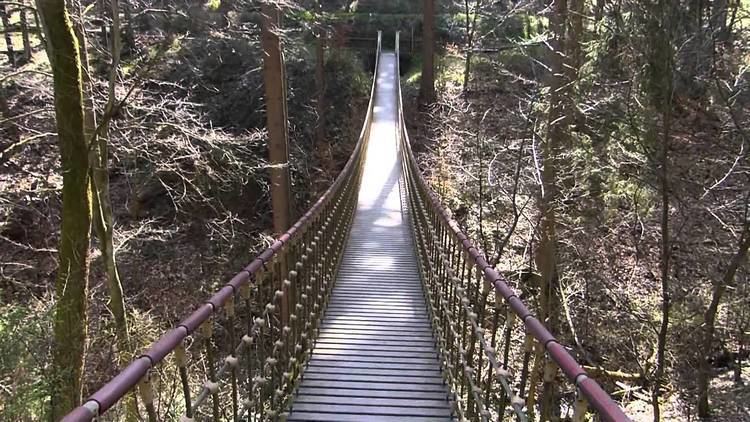
Tourism
A section of the E8 European long distance path and the Bingen Forest Nature Trail run through the Bingen Forest, along its main crest. Other sights and geographical destinations are:
Transport
The Bingen Forest may be reached, for example, by roads branching off from the A 61 motorway (junctions Rheinböllen and Waldlaubersheim), which lies to the southwest and south, running along the edge of the forest opposite the Soonwald. In addition, Bingen Forest may be accessed via the A 9 which runs in a northwest-southeast direction through the Middle Rhine valley from Koblenz to Bingen.
Railway lines run on either side - for example, along the B 9 - through the Rhine valley (north) and the valley of the Guldenbach (south). The latter is currently closed; however it is to be re-opened in the near future because of the Frankfurt-Hahn Airport which is located southwest of the Bingen Forest and roughly west of Kirchberg between Hahn and Lautzenhausen.