
Elevation 6,895 ft (2,102 m) | Country United States of America | |
 | ||
Length 8 mi (13 km) Beaver Lake Mountains (peak) massif, southwest, Lime Mountain, northeast, (small "island" 'Rocky Range', southeast) Regions Beaver River (Utah) floodplain(Great Basin Desert &)((southwest)-Sevier Desert,(west)-Black Rock Desert volcanic field,or (northeast)-Escalante Desert) Borders on San Francisco Mountains (Utah)-W & NWStar Range-SBeaver River (Utah)-E | ||
The Beaver Lake Mountains are an 8-mile (13 km) long small mountain range located in central and north Beaver County, Utah, adjacent the south border of Millard County.
Contents
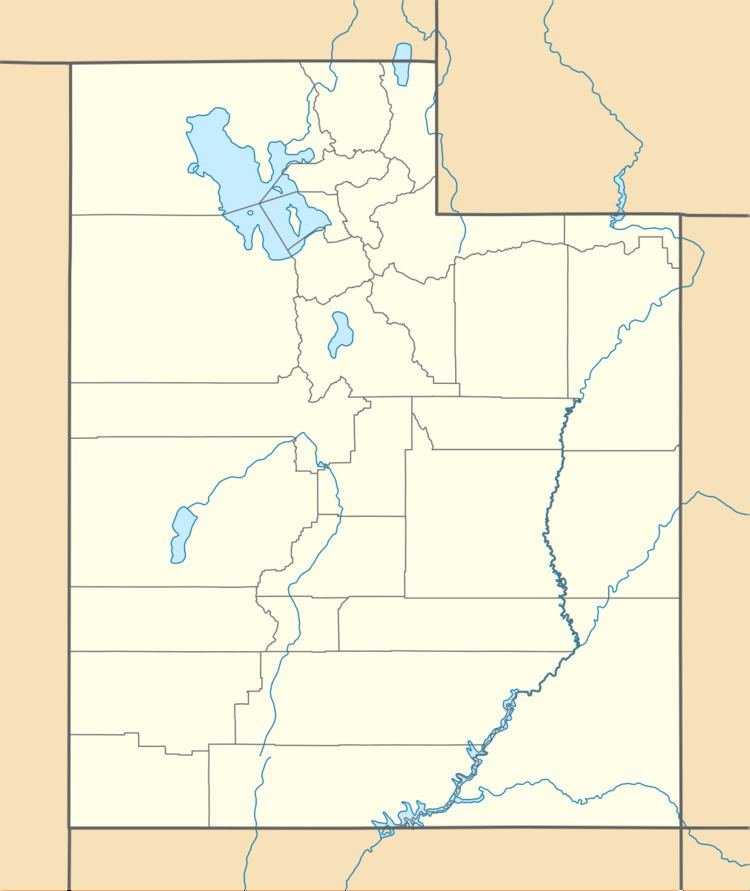
Map of Beaver Lake Mountains, Utah, USA
The range is bordered on the east by the Beaver River, as it flows due-north past Milford and the small Milford Valley; the river leaves the southeast section of the Escalante Desert, but the Beaver River comes from the east, Beaver Valley and the south terminus of the Mineral Mountains-(Minersville Reservoir).
The Beaver River flows due north to meet the Sevier River, but agricultural use prevents continuous flow through the southwest Sevier Desert region.
DescriptionEdit
The Beaver Lake Mountains are made up of three basic sections: the southwest contains a massif of the Beaver Lake Mountains (peak), at 6,794 feet (2,071 m), about 3-mi in diameter. Adjacent and attached northeast, is Lime Mountain. (The lower elevation, and smaller Badger Knolls, 5,450 feet (1,661 m), are just east.)
The "Rocky Range" section is a 2.5-mi long outlying section to the southeast, and surrounded by washes to the southwest and northwest, that connect eastwards to the Beaver River.
The highpoint of the range is Lime Mountain, at the north-northeast range terminus, 6,895 feet (2,102 m).
AccessEdit
The Beaver Lake Mountains can be reached from Milford, Utah, 9-mi southeast. Utah State Route 21 traverses southwest of the range, (about 3-mi from the foothills), and goes through The Big Wash, and the northeast foothills of the neighboring Star Range. Unimproved routes go north from The Big Wash, cross over, passing Hichory Wash to the range's foothills; routes enter the Beaver Lake Mountains, as well as one route encircles the range's foothills, and the two mountainous sections of Lime Mountain and Beaver Lake Mountains (peak), a total route length of ~22-mi. The "Rocky Range" section southeast, also has numerous unimproved road access points; Rocky Range is only about 2.5 miles (4 km)) long.
The northeast, and east sections of the range can also be accessed from the north-south road, Utah 257; to the southwest, the "Rocky Range" section is over the north-flowing Beaver River, so the access has to be from the north areas of the Milford townsite.
From the San Francisco Mountains (Utah), the Beaver Lake range can be easily accessed by unimproved roads. The foothills between the two ranges are only 2-mi apart.