Max. length 5.4 mi (8.7 km) Area 162 ha Length 8.7 km | Surface elevation 1,676 m Mean depth 8.14 m Width 1.85 km | |
 | ||
Primary inflows | ||
Minersville Reservoir is a reservoir in Beaver County, Utah, United States.
Contents
Map of Minersville Reservoir, Utah 84752, USA
HistoryEdit
Minersville Reservoir was created in 1914 by the construction of the Rocky Ford dam, an Embankment dam to impound water from the Beaver River which heads in the Tushar Mountains for use in agriculture.
GeographyEdit
Minersville Reservoir is located 12 miles (19 km) west of Beaver, Utah and 6 mi (9.7 km) east of Minersville. The shoreline consists of some private land, but is mostly public BLM-administered land.
ActivitiesEdit
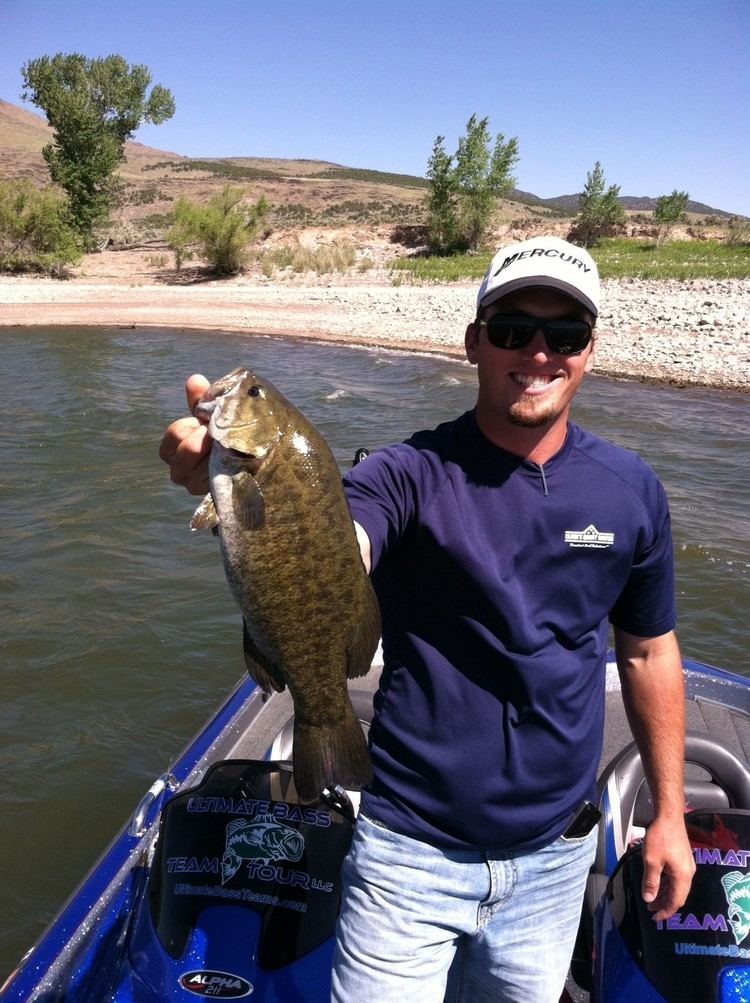
The reservoir is popular for year-round fishing, camping, boating, waterskiing, and tubing.
References
Minersville Reservoir Wikipedia(Text) CC BY-SA
