
 | ||
The Veldenstein Forest (German: Veldensteiner Forst) lies in the east of the Franconian Switzerland-Veldenstein Forest Nature Park between the towns of Pegnitz and Plech.
Contents
Map of Veldensteiner Forst, Germany
Its name is derived from Veldenstein Castle, a large, well preserved, medieval fortification above Neuhaus an der Pegnitz. The Veldenstein Forest, with its extensive pine and spruce woods has an area of around 70 km2 and is one of the largest contiguous areas of forest in Bavaria. A large part of the Veldenstein Forest lies on the territory of the county of Bayreuth and forms the fourth largest unincorporated area in Bavaria (55.60 km2).
Sights
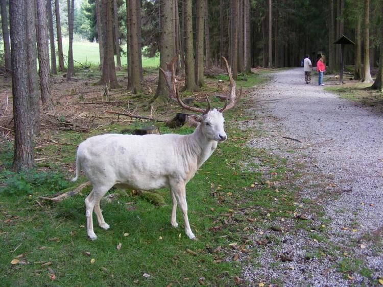
A particular attraction in the Veldenstein Forest is the wildlife park. In the east the nature reserve of Pegnitzau zwischen Ranna und Michelfeld borders immediately on the forest. The forest also has numerous rock formations, caves and dolines, some of which are classified as natural monuments or geotopes.